Garmin G1000 Quest Kodiak User Manual
Page 129
190-00590-00 Rev. C
Garmin G1000 Pilot’s Guide for the Quest Kodiak 100
GPS NAVIGATION
5-13
Obstacle Data
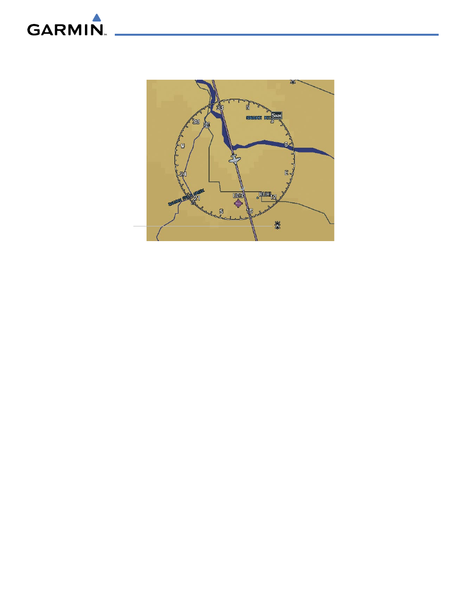
Figure 5-11 Obstacle Data
Obstacles
Obstacle data can be enabled or disabled on the Navigation Map Page using the ‘OBSTACLE DATA’
setting. A data range can also be selected. The data range is the maximum map range that terrain data
is displayed.
Enabling/disabling obstacle data and to select a terrain data range:
1)
With the Navigation Map Page displayed, press the MENU Key to display the Navigation Map Page MENU. The
cursor flashes on the ‘Map Setup’ option.
2)
Press the ENT Key. The Map Setup MENU is displayed.
3)
Select the ‘Map’ group.
4)
Press the ENT Key.
5)
Highlight the ‘OBSTACLE DATA’ field.
6)
Select ‘On’ or ‘Off’.
7)
Press the ENT Key to accept the selected option. The flashing cursor highlights the range field. OBSTACLE
ranges are from Off to 50 nm.
8)
To change the OBSTACLE range setting, turn the small FMS Knob to display the range list.
9)
Select the desired range.
10)
Press the ENT Key.
11)
Press the FMS Knob to return to the Navigation Map Page.
Fuel Range Ring (Fuel RNG) (RSV)
Refer to the EIS Section of the Pilot’s Guide for information regarding the Fuel Range Ring.