Garmin G1000 Quest Kodiak User Manual
Page 134
Garmin G1000 Pilot’s Guide for the Quest Kodiak 100
190-00590-00 Rev. C
GPS NAVIGATION
5-18
NAVIGATION MAP OPERATIONS
S
ELECTING
A
M
AP
R
ANGE
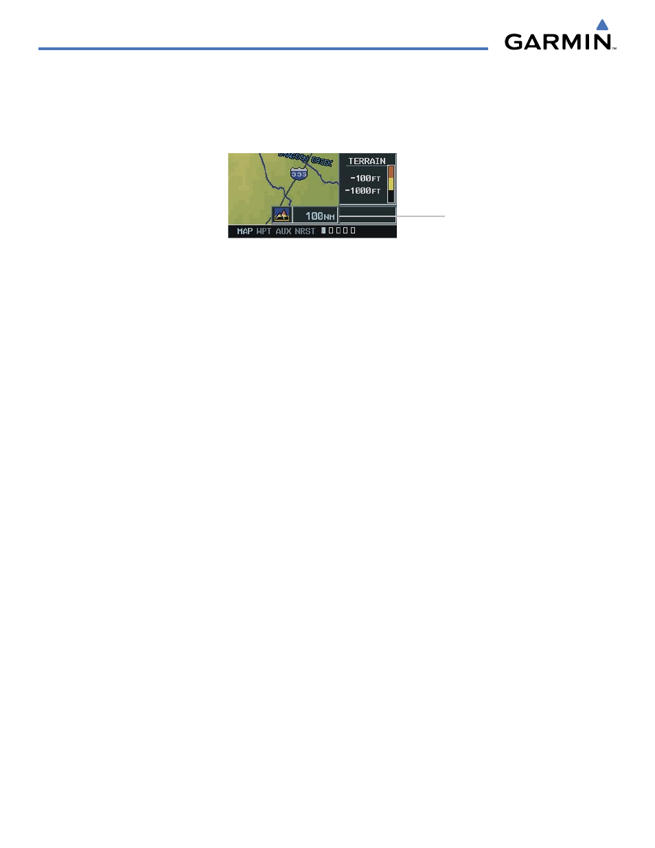
Figure 5-14 Map Range Indicator
Map Range
Indicator
The Navigation Map can be set to 28 different range settings from 500 feet to 2000 nautical miles. The
current range is indicated in the lower right corner of the Navigation Map Page and represents the
top-to-
bottom distance covered by the map
. To change the map range turn the joystick counter-clockwise to zoom
in, or clockwise to zoom out.
D
ECLUTTERING
THE
M
AP
The Navigation Map can be quickly “decluttered” by repeatedly pressing the DCLTR Softkey until the
desired detail is displayed. The declutter level label is displayed in the DCLTR Softkey. Note that during an
instrument approach, automatic decluttering takes place. Table 5-1 lists the features that are turned off at
each declutter level. Note that some of the map features are automatically removed at certain zoom ranges
due to the map setup configuration for each map item. “SUA” listed in the following table stands for Special
Use Airspace. These are controlled airspaces, military zones, etc.