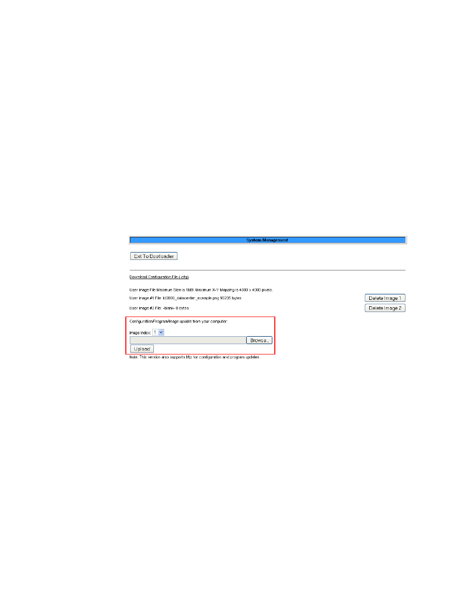
Figure 3.10 load a map – RLE LD2100 V.2.6 User Manual
Page 39

rletech.com
LD2100 User Guide
39
3
Web Interface
Do not attempt to map your facility until your monitoring area is completely assembled - all of
your leak detection equipment is in place, tested, and functional.
You can draw a map yourself, or RLE can create the map from a sketch or mechanical drawing
that you provide. When creating your own map and image file, keep in mind that the image
file must be:
♦
500kb or less in size.
♦
4000 x 4000 pixels or less.
♦
A .png, .jpg, or .gif formatted file.
Load A Map
Before you can create the interactive overlay, you need to upload the map image file.
1
In the user interface, go to Configuration>System/Flash Management.
The System Management web page displays.
Figure 3.10
Load a Map
2
If you want the map to be interactive so you can set reference points for ease of leak
location, use the Image Index pull-down to select to upload an image to index 1.
If you want to upload a map that you will use for reference, select index 2.
Note
If you upload another image to one of the two index locations where an image is already
present, the image currently in that location is overwritten.
3
Click the Choose File button to locate the file on the computer’s hard disk or on a network
drive.
4
Click the Upload button.
5
If desired, repeat these instructions to upload a second image file to the other index
location.
Return to the Web/Map Settings Configuration page. In the Floor Map #1 Link Text field, type
a title for the map. Do the same for the second image, if you have loaded one.
