Triton TritonNav User Manual
Page 60
An Example of Survey Planning in DelphNav
Using Delph Nav
54
CHAPTER 1: Using DelphNav™ (Survey Control Panel) 2004.06.28
6.
Because this DXF file in our worked example is the coastline around Portland, Maine,
and because the coastline’s coordinates are UTM with NAD27 datum, select
Universal Transverse Mercator
; then click
Next
.
At this point you need some idea of where Portland, Maine, is in terms of its naviga-
tion coordinates. It turns out the longitude of Portland, Maine, is around 70 degrees
West, and it is in the Northern Hemisphere.
7.
Select
Zone 19 (66W to 72W)
and check the
North Hemisphere
radio button; click
Next
and select
North American Datum (1927)
; click
Finish
.
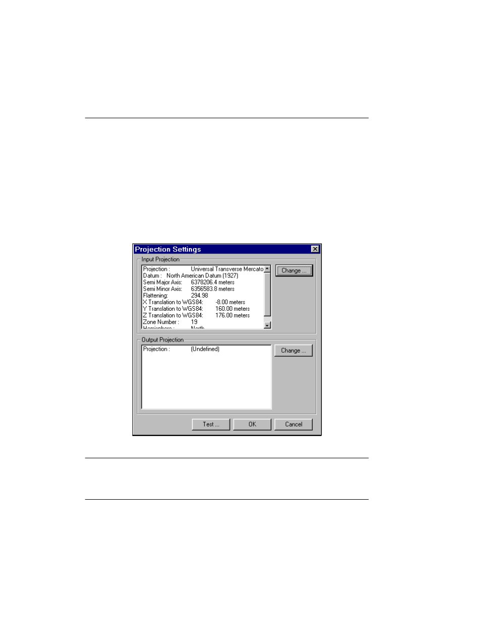
After a short pause the Projection Settings box re-appears and the system displays the
data relevant to your input projection settings (Figure 32).
FIGURE 32.
Projection Settings box with input projection info