Triton TritonNav User Manual
Page 21
2004.06.28
CHAPTER 1: Using DelphNav™ (Survey Control Panel)
15
Using Delph Nav
Making or Using a Survey Plan
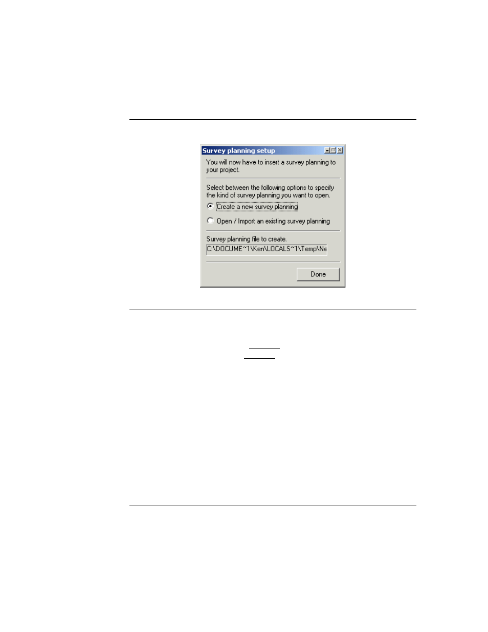
FIGURE 6.
Survey planning dialog (before a project is opened)
If no other imagery exists in the DelphMap window, DelphNav prompts you to choose
a projection for your project when you click
Done
. These Projection and Datum
parameters represent what will be displayed in DelphMap, and need not be identical to
the Projection and Datum of the incoming navigation. After specifying the Projection
and Datum, DelphNav will prompt you for the location of your working area if no
external navigation has been received by the program. This information is entered in
the form of a NW corner and E-W N-S extents in meters. Note that by right-clicking in
the text area of this dialog box the NW corner coordinates can be toggled between geo-
graphic and grid coordinates.
If you are opening or importing an existing survey plan, DelphNav prompts you to
select a file when you activate the Open/Import an existing survey planning radio but-
ton. If a new project was not created, then the new survey plan is stored in the Win-
dows temporary folder (location depends on which Windows operating system you are
using). In Windows 2000, for instance, the location is…
C:\Documents and Settings\USER_NAME\Local Settings\Temp
…where login account is substituted for USER_NAME.