Triton TritonNav User Manual
Page 23
2004.06.28
CHAPTER 1: Using DelphNav™ (Survey Control Panel)
17
Using Delph Nav
Making or Using a Survey Plan
To draw lines for a survey plan
1.
From Survey planning setup click the
Draw lines
button (icon shown to the
right), then use the title bar to drag the dialog box to one side. (
2.
Use the coordinate display in the Distance Window to position the mouse
cursor at the start of the first survey line. Exact points need not be specified
at this stage because each coordinate associated with the points constructing the line
may be edited upon selecting the
Save
option.
3.
Click at the required location, move the mouse cursor to the next point of the line, and
click again.
4.
Continue in this manner drawing as many series of connected segments (or legs) as
you need.
5.
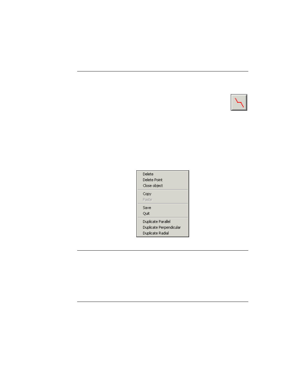
When you have finished drawing the various legs of the line, right-click, and a menu
of choices is displayed (Figure 8). Choose the
Save
option.
FIGURE 8.
Menu for acting upon drawn lines
At this time, you can edit the coordinates of the line. Figure 9 shows the Waypoint/
Profile Editing dialog box associated with the
Save
option. Note that DelphNav sup-
ports multiple line segments but not curved lines.
6.
When you are satisfied you have correct coordinates click
Save
.
At this point the line will be added to the list of lines in the Survey Planning box.