Modifying line properties – Triton TritonNav User Manual
Page 40
Making or Using a Survey Plan
Using Delph Nav
34
CHAPTER 1: Using DelphNav™ (Survey Control Panel) 2004.06.28
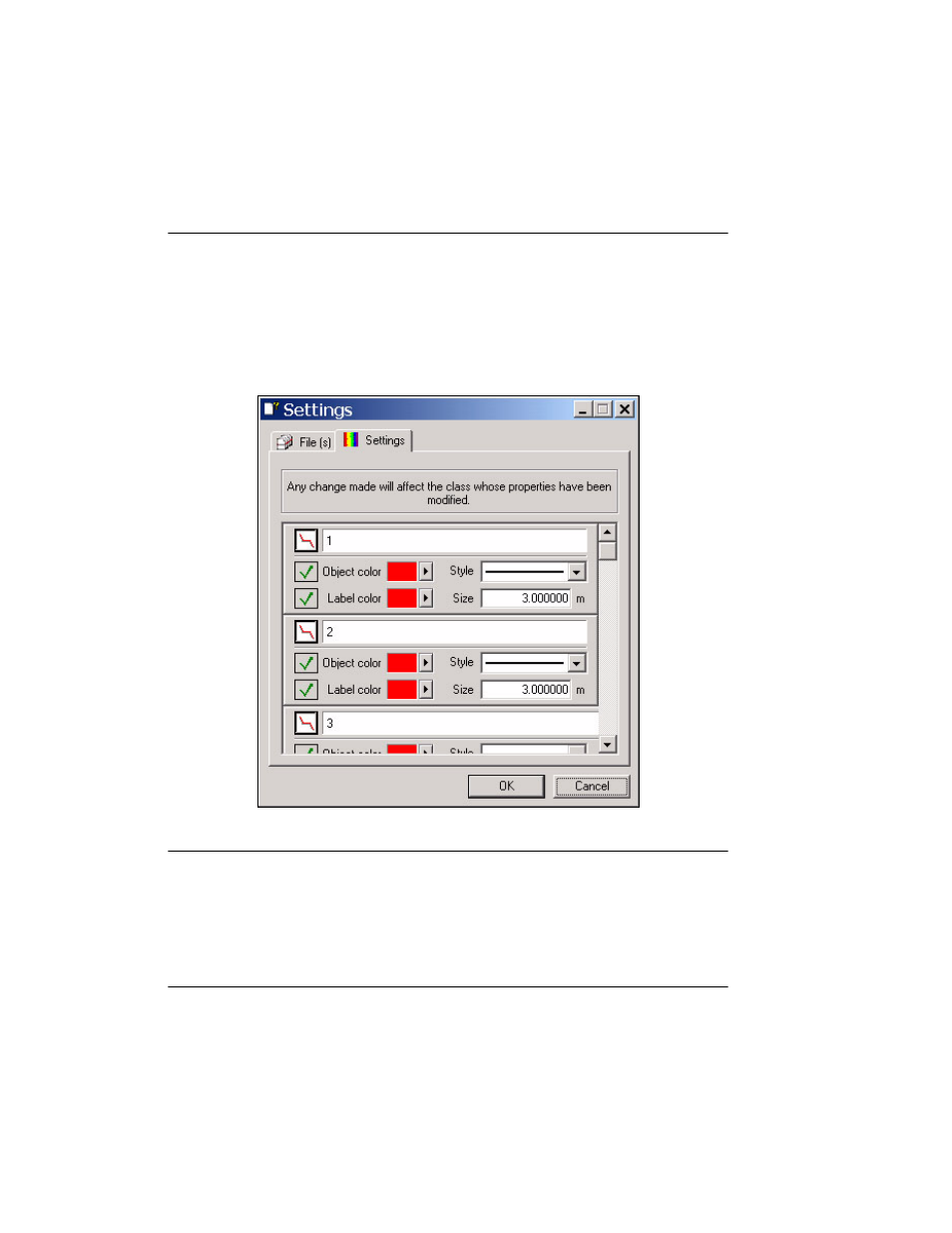
Modifying Line Properties
As stated at the beginning of this section, by default the vector layer inserted into
DelphNav and related to a survey plan is labeled SurveyPlanning. Properties related to
each vector component of the specified survey plan (lines and waypoints) can be modified
by right-clicking on the SurveyPlanning layer and selecting Properties.
FIGURE 19.
Settings dialog box associated with Properties option
The dialog box in Figure 19 opens, and by selecting the Settings tab, various properties
associated with each vector object can be modified. For example, increasing the Size
parameter from the default of 3.0 m increases the font size of the label attached to that par-
ticular line.