Juniper Systems Archer 2 User Guide User Manual
Page 67
Ch
6 GPS/GNSS
63
To collect points in a track, tap the play button and
start moving along the desired track. Tap the pause
button as needed, and tap play to start again. Current
position information, total distance, altitude change, and
points in the track are collected.
When you are finished, tap the stop button. A
dialogue box is shown with the track name. You can use
that name or edit it. Press the check mark when you are
finished. The track is saved in \My Documents\My Tracks.
Tap the edit icon to add or edit the name, description,
notes, and file type for this track
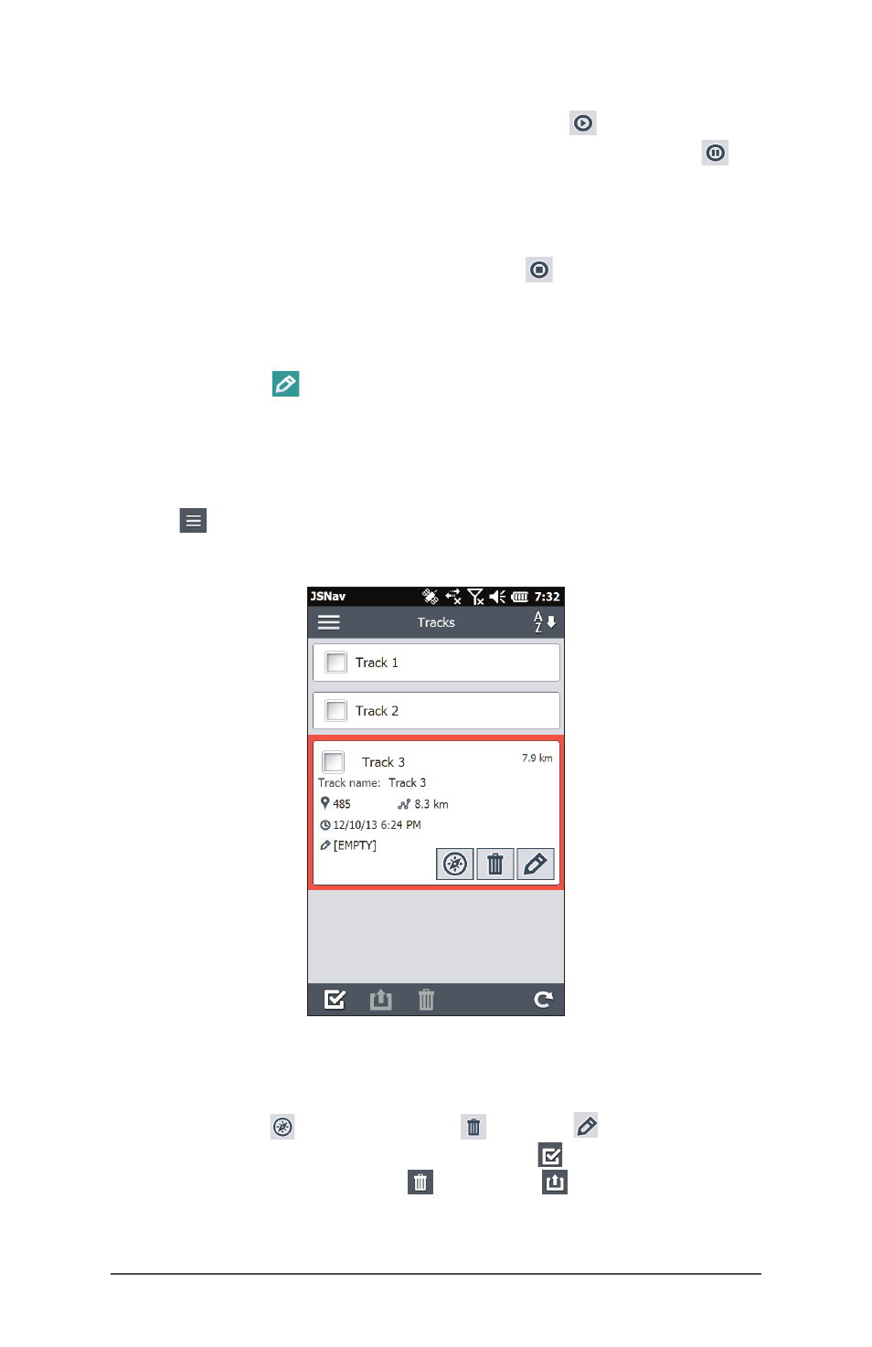
Managing Waypoints and Tracks
To view the waypoints and tracks you have saved, tap the
menu icon, then select Waypoints or Tracks from the
menu. A list of waypoints or tracks is shown.
To open a file, tap on the name. You can view collected
data, select the file for exporting or deletion by tapping the
box to the left of the name, navigate back to the waypoint
or track points , delete the file , or edit the file. To
select all of the files, tap the check box at the bottom of
the screen. You can delete or export all selected files.
Exported files are placed into a directory called Exports
inside of your \My Documents folder.