Triton BathyPro User Manual
Page 89
7. If you had paused the playback in Isis prior to clicking START, unpause
the playback in Isis so that DelphMap can render the image.
8. If you are playing back a file in Isis, choose the next line from your data
set to be played back; as each line finishes, choose successive lines until
all lines have been played back.
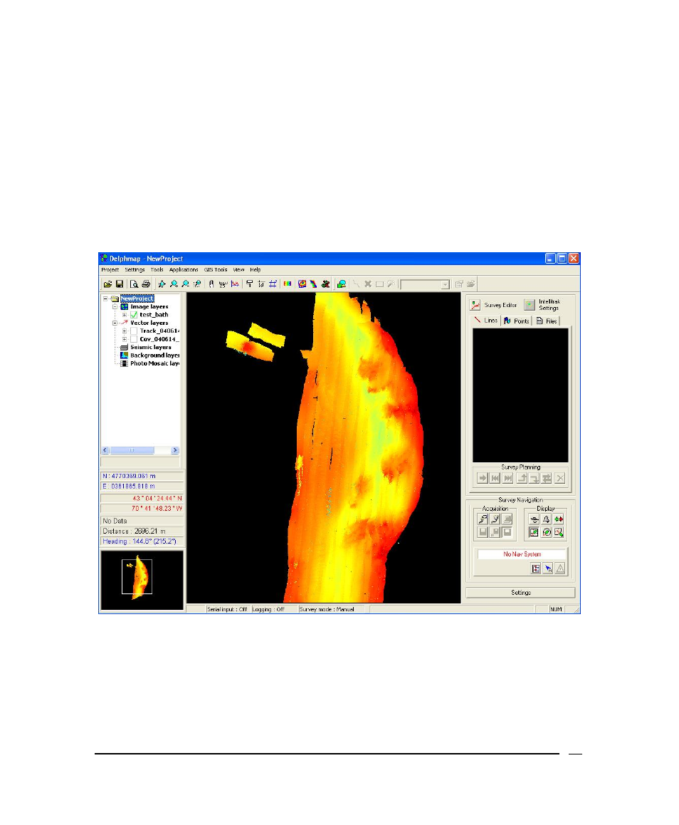
Figure 50 shows a typical, completed digital terrain model rendered in
DelphMap.
Figure 50. Completed DTM rendered in DelphMap
For a discussion about the Mission Monitor function, please refer to the TEI
Survey Monitor User’s Manual
.
June 2004
BathyPro User’s Manual
89