Route planning in 3d view – FeiYu Tech FY-Panda2 Autopilot User Manual
Page 45
Guilin Feiyu Electronic Technology Co., Ltd.
Guilin Feiyu Electronic Technology Co., Ltd http://www.feiyu-tech.com [email protected]
Page 42
Route planning in 3D view need to make altitude initialization,
use to extracting the
initial relative altitude of the routes in Google earth, otherwise the route may be obscured
under layer.
If the autopilot system connect to the GCS, after GPS fixed position the software
will initialize the altitude automatically. Otherwise you have to manual initialize.
15.2.1 Route Planning In 3D View
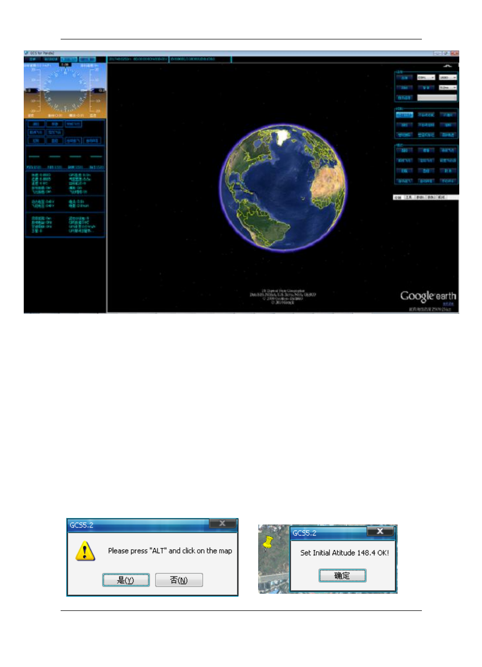
Find the needed region, click on the "Path" button in the menu bar to get the route
planning interface.Click on the
―Init Alt‖ button, select ― Y ‖ button in the promt dialog, the
mouse change into gripper type,
press on the ―Alt‖ button on the keyboard mouse click
the target point , it will pop-
up a dialog box then click the ―Confirm‖ button to finish the
altitude initialization. If you need to reset the initial point, please repeat the above steps.