Nearest towns and cities, Figure 2-47: nearest user waypoints – BendixKing AV8OR User Manual
Page 82
Honeywell Bendix/King AV8OR Handheld User’s Guide
VFR Moving Map Function
D200803000008
Page 2-42
Rev 5 Mar 2012
©
Honeywell International Inc. Do not copy without express permission of Honeywell
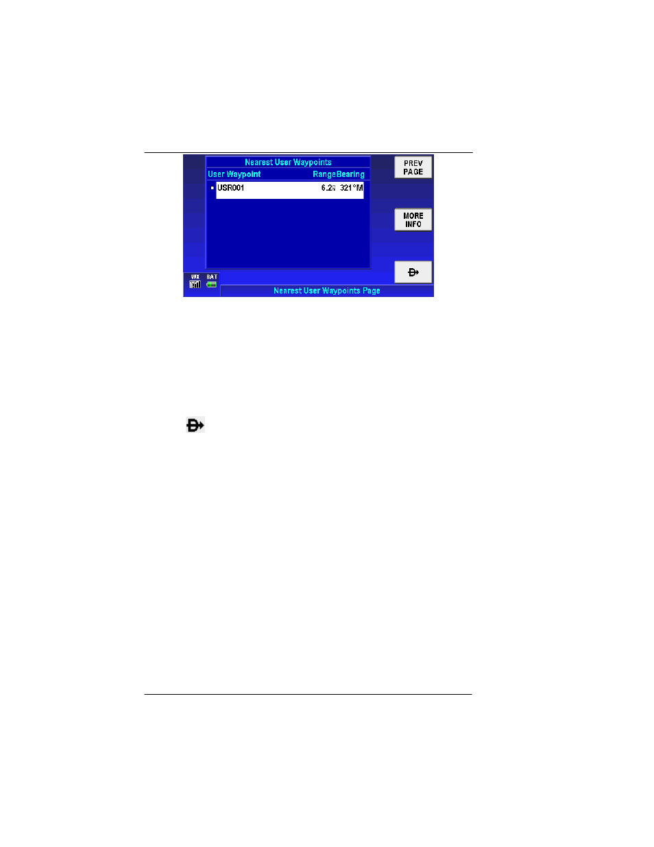
Figure 2-47: Nearest User Waypoints
Nearest User Waypoints Soft Keys
Tap the
PREV PAGE
soft key to return to the Nearest Database
Selection window.
Tap the
MORE INFO
soft key to display additional information about
the highlighted user waypoint from the list.
Tap the
soft key after selection of a user waypoint to set a new
course from the aircraft’s present position directly to the selected
user waypoint. The new Direct-To course is displayed on the map.
NOTE
: User waypoints that have a VFR Airport, VOR, Town or City
icon associated with them will also show in the Nearest
Airports, Nearest VOR or Nearest Towns and Cities list as
well as in the Nearest User Waypoints list.
Nearest Towns and Cities
Double tap on the
Nearest Towns and Cities
selection or tap once
on the
Nearest Towns and Cities
selection and tap the
SELECT
soft key to show the Nearest Towns and Cities
.