Appendix – Garmin 210 User Manual
Page 82
Attention! The text in this document has been recognized automatically. To view the original document, you can use the "Original mode".
SECTION
F
APPENDIX
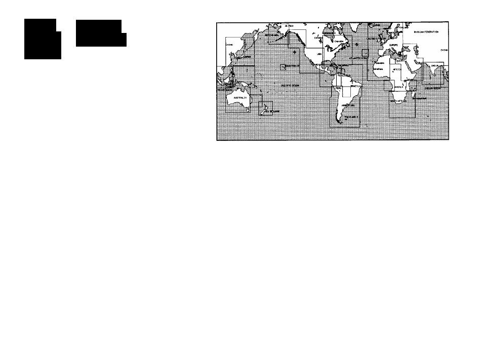
Map DatWHX
The GPSMAP’s built-in world-wide database includes chart coverage down to
64 n.ra. (120 km) for the areas outlined above. Note that the GPSMAP database is only
valid to 68“15’ of latitude. The maximum cursor latitude is 85°05’, and the maximum way-
point latitude is 89“24.543 north or south.
72
Adindan
Adindan- Ethiopia, Mali,
Astr Stn ‘52
Astronomic Sin ‘52-
Senegal, Sudan
Marcus Island
Afgooye
Afgooye- Somalia
Astrln Geod ‘66
Australian Geod ‘66-
AIN ELABD70
AIN ELANBD 1970-
Australia, Tasmania Island
Bahrain Island, Saudi
Astrln Gcod ‘84
Australian Geod ‘84-
Arabia
Australia, Tasmania Island
Anna 1 Ast ^63
Anna 1 Astro '65- Cocos I.
Bellevue (IGN)
Efate and Erromango
ARC 1950
ARC 1950- Botswana,
Islands
Lesotho, Malawi,
Bermuda 1957
Bermuda 1957- Bermuda
Swaziland, Zaire, Zambia,
Islands
Zimbabwe
Bogata Observ
Bogata Obsr\’atry-
ARC 1960
Kenya. Tanzania
Colombia
Ascnsn Isld *38
Ascension Island ‘58-
Campo Inchspe
Campo Inchauspe-
Ascension Island
Argentina
Astro B4 Sorci
Sorol Atoll- Tern Island
Canton Ast ‘66
Canton Astro 1966-
Astro Ben “E"
Astro Beacon “E”- Iwojima
Phoenix Islands
Astro Dos 71/4
Astro Dos 71/4- St. Helena
Cape
Cape- South Africa