Dynon Avionics SkyView Pilots Users Guide User Manual
Page 57
SkyView Pilot’s User Guide - Revision S
4-19
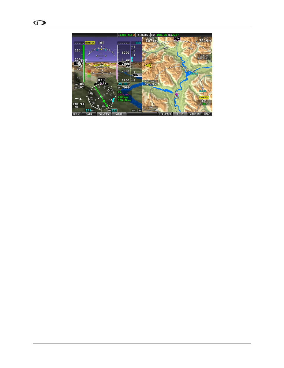
Figure 44 - SkyView Synthetic Vision Wide View
Runways on Synthetic Vision
Runways are depicted at airports for which runway information is available in the US only. See
the Moving Map Operation section for more information about aviation data availability. Note
that in many cases, the information in the Synthetic Vision depictions of runways may not
match the actual physical markings seen in real life. In fact, in many cases, the Synthetic Vision
depictions show more information about them. The following information is shown on
Synthetic Vision runways:
Runway edge lines
Runway centerline
Runway numbers
Runway thresholds / displaced thresholds
Aiming point markings: two white strips drawn 1000’ after the threshold on runways
4000’ and longer
Runway width threshold markings: drawn immediately after the runway threshold,
these groups of parallel lines visually indicate the width of the runway in the following
manner according to runway width:
o 0’-59’ wide: no lines
o 60’-74’ wide: 4 lines
o 75’-99’ wide: 6 lines
o 100’-149’ wide: 8 lines
o 150’-199’: 10 lines
o 200’+: 12 lines
Obstacles on Synthetic Vision
Obstacles are only depicted when the Navigation Mapping Software is licensed or in its 30 flight
hour free introductory trial mode. See the SV-MAP-270 Navigation Mapping Software section
for more information about map licensing and obtaining obstacle data.
Obstacles are only shown on Synthetic Vision if their highest point is within 1000 feet below
your aircraft’s GPS altitude. If the highest point of an obstacle is within 100 feet below your