Navigation, Map operation and map settings – Mercedes-Benz CLS-Class 2014 COMAND Manual User Manual
Page 112
orange-color tip of the symbol points
north.)
R
¤ Bird's-eye view (the map view is aligned
to the direction of travel. The map projec-
tion reproduces the curvature of the earth's
surface, the orange-color tip of the symbol
points north.)
R
¤ 3D map (the map view is aligned to the
direction of travel. At a scale of 1 km the
map displays elevation, the orange-color
tip of the symbol points north.)
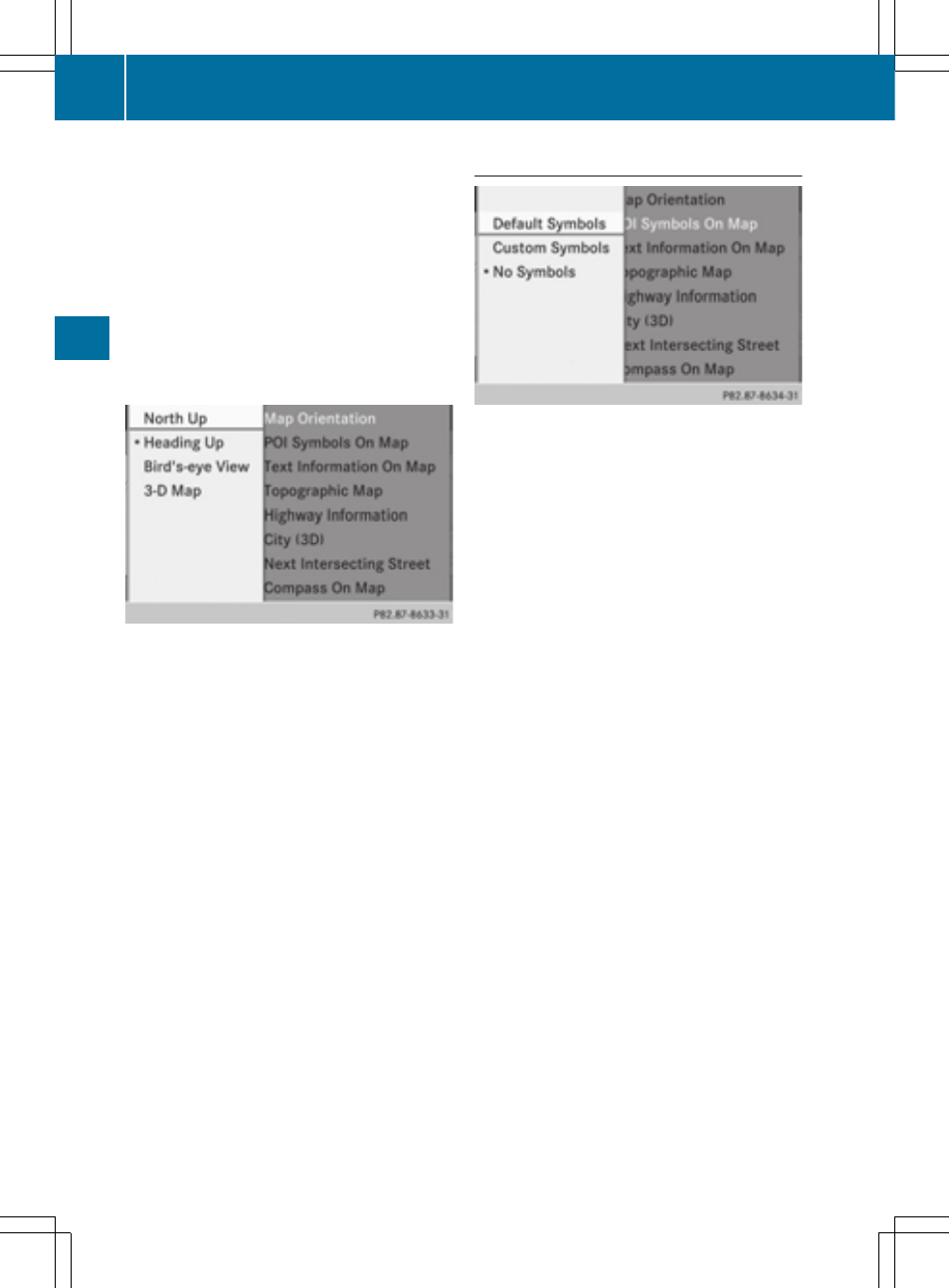
Map orientation menu
Setting the map orientation
X
To show the menu: press W the COMAND
controller.
X
Select
Navi
Navi
in the main function bar by
sliding ZV and turning cVd the COMAND
controller and press W to confirm.
X
Select
Map
Map Settings
Settings
and press W to con-
firm.
The map settings menu appears.
X
Select
Map Orientation
Map Orientation
and press W to
confirm.
X
Select
North up
North up
,
Heading Up
Heading Up
,
Bird's-
Bird's-
eye View
eye View
or
3-D Map
3-D Map
by turning cVd the
COMAND controller and press W to con-
firm.
A # dot indicates the new setting.
Selecting POI symbols
Setting the POI symbol display
You can set the points of interest you wish to
have displayed as symbols on the map. Points
of interest are, for example, gas stations,
hotels, cinemas and restaurants.
X
To show the menu: press W the COMAND
controller.
X
Select
Navi
Navi
in the main function bar by
sliding ZV and turning cVd the COMAND
controller and press W to confirm.
X
Select
Map
Map Settings
Settings
and press W to con-
firm.
The map settings menu appears.
X
Select
POI Symbols On Map
POI Symbols On Map
and press
W to confirm.
The following settings are possible:
R
Standard Symbols
Standard Symbols
Symbol display determined by the factory
settings.
R
Personal Symbols
Personal Symbols
You can determine the symbols yourself.
R
No Symbols
No Symbols
The map does not show any symbols.
110
Map operation and map settings
Navigation