Garmin GPSCOM 190 User Manual
Page 32
Attention! The text in this document has been recognized automatically. To view the original document, you can use the "Original mode".
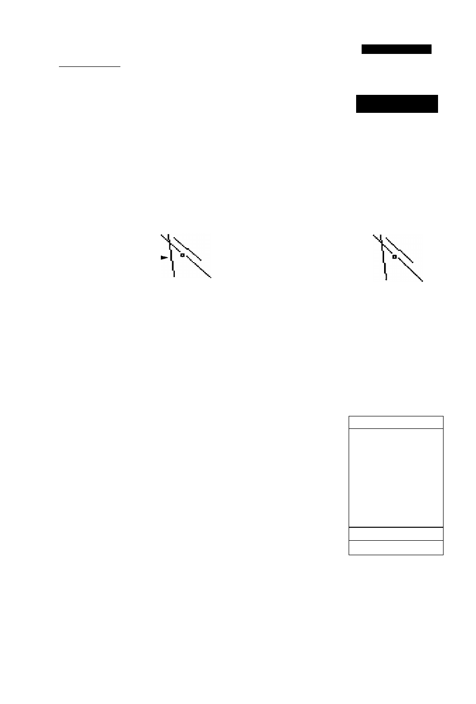
The last airport page is the runway page, which fea
tures a diagram ol available runways, along with designa
tions, length, surface and lighting information for the
selected airport.
Runway Page
R
eference
Page
Runway
Deii^ator Field
(sdectabk)
\
Runway
Diagrams
UftVPOIHT
fiPT:
KAUS
RUHUAV: LENGTH
□Т-ЗБ SDDDFT
^URFHOE LIGHTING
HHRD FULL TIME
COnH-^LOON-i DONE-i
130.75 119.00
Idcntijier
Fie!d
fseieciable)
Runway
Data
The runway diagram provides a north-up graphic of
available runways, with length, surface and lighting data
listed below the runway designation. The 'SURFACE'
field will display one of the following surface types; hard,
turf, sealed, gravel, dirt, soft, unknown or water. The
‘LIGHTING’ field will indicate one of five lighting
schemes: part time, full time, pilot controlled (w'ith fre
quency), no lighting or unknowm.
If a selected airport has more than one runway, addi
tional runways can be viewed by selecting another run
way from the designation field.
To view additional runways:
1.
Highlight the runway designation field.
2.
Press I
3, Use the arrow keypad to toggle through and select the
desired runway.
4. Press to return the cursor to the 'DONE?' prompt.
UftVPOIHT
ftPT:
KAUS
RUHUHY: LENGTH
□T-3S SQQDFT
LIGHTING
HARD FULL Т1ИЕ
COntlYLOCH*^
130.75 119-00
Additional
runways
are
accessed through the run
way designation field.
MftVPOIHT
ЙРТ:
KTCS
RUHHAY:
LENGTH
□3-31
55DDFT
\
fURFROE 1
LIGHTING
HRRD
1гг.BD
DGNE-i
126.77
12^.90
Pilot-controlled
iigfiting
witii ¡isteti
frequency