Sirius wea th er, Weather map – Mercedes-Benz CLA-Class 2014 COMAND Manual User Manual
Page 266
Explanation of the layers on the weather map
Layer
Map display
Selectable
scales
Radar Map
Radar Map
Shows the rain radar as a colored area on the map.
For an explanation of the colors, see the legend
(
Y
page 267).
All
Storm Character‐
Storm Character‐
istics
istics
Shows the characteristics of a storm
Characteristics are:
R
tornadic storm:
storm cell with strong winds (super cell), from
which a tornado can develop. Tornadoes are
also known as twisters.
R
cyclone:
storm cells from which a tornadic storm can
develop
R
hailstorm
R
the likelihood of a hailstorm
All
Atmospheric
Atmospheric
Pressure
Pressure
Shows the position of high and low-pressure areas
(H, L), weather fronts and isobars
200 miles
(200 km)
500 miles
(500 km)
Tropical Storm
Tropical Storm
Tracks
Tracks
Shows the path/directional movement speed of a
tropical storm with time and strength information
All
Winds
Winds
Shows the wind direction and wind speed
5 miles (5 km)
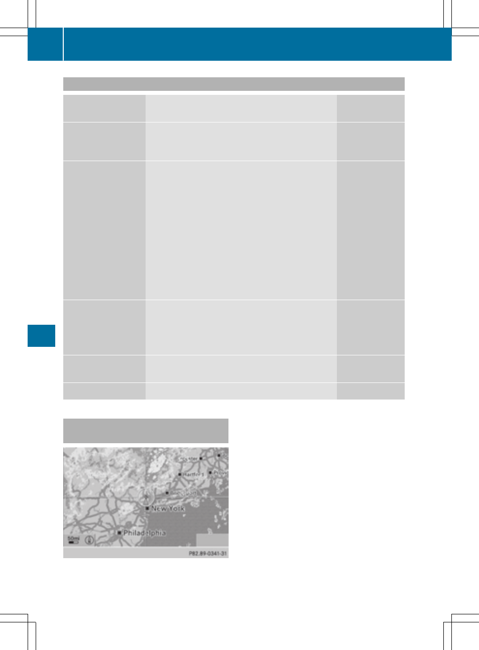
Sample displays of weather data in
the map
Weather map showing the rain radar
Conditions: the
Radar Map
Radar Map
layer is active
(
Y
page 263) and weather data is available.
The precipitation radar legend can be called
up at (
Y
page 267).
264
Weather map
SIRIUS
Wea
th
er
- C-Coupe 2014 COMAND Manual C-Sedan 2014 COMAND Manual B-Class 2014 E-Cab 2014 COMAND Manual E-Coupe 2014 COMAND Manual E-Wagon 2014 COMAND Manual E-Sedan 2014 COMAND Manual GLK-Class 2014 COMAND Manual G-Class 2014 COMAND Manual M-Class 2014 COMAND Manual SLK-Class 2014 COMAND Manual SLK-Class 2015 COMAND Manual M-Class 2015 COMAND Manual GLK-Class 2015 COMAND Manual GLA-Class 2015 COMAND Manual C-Coupe 2015 COMAND Manual