1 waypoints and routes, 2 air spaces, 7 simulation – Flytec 6040 * User Manual
Page 45: Waypoints and routes, Air spaces, Simulation, Operation manual flytec 6040 gps
Operation Manual FLYTEC 6040 GPS
43
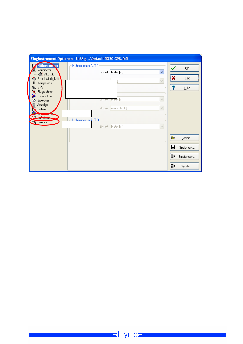
6.1.1. Flight instrument Options
All settings can be performed or altered comfortably with Flychart 4.52
6.1.1 Waypoints and Routes
In the same menu the way points and the routes can also be transfered from the Flychart
to the instrument. Flychart can also import and transfer data files of waypoints from See You or
Compe GPS or Garmin
6.1.2 Air
Spaces
The very same is valid fort he Air Spaces. (see under Airspaces)
7 Simulation
After choosing the Simulation mode in the Setup menu and pressing the OK key, you reach
this highly interesting function. With the arrow keys and OK you turn the Simulation mode to:
“Yes” and confirm again with OK. Now the simulation starts and the last known GPS position is
applied.
With the ► and ◄ arrow keys you can adjust the air and ground speed; the ▲and ▼ arrow keys
change the sink or climb. If the stall alarm sounds, please increase the airspeed by a few km/h.
The F1 key is used for switching to various functions.
Next Func.
Var ▲▼ Spd ►◄XX to alter Climb/Sink Air + GND-Speed
Next Func.
Wind ▲▼ Trk ►◄
to alter an assumed Wind strength during climb and
to alter the Track (Flight direction) during sink phase
Next Func.
Mod A1 ▲▼
Modify altitude Alt1
Next Func.
Mod A2 ▲▼
Modify altitude Alt2
Next Func.
S.Thr –▲▼
altering activation point of sink acoustic
Next Func.
Change page ►
Benutzereinstellungen
und Instrument
Einstellungen
Wegpunkte
Lufträume