File, Pf3000 cotton yield monitor, Ag leader technology – Ag Leader PF3000 Cotton Yield Monitor Operators Manual User Manual
Page 112: Navigate
PF3000 Cotton Yield Monitor
Navigate
Ag Leader Technology
March 2002
4-44
Introduction
Use the navigate function to return to a specific point in a field. You must have
GPS in order to use this option. You can navigate in any operating mode.
There are two ways to navigate:
1.
Navigate to points in a grid file (*.PFN).
2.
Navigate to a latitude and longitude that you have manually entered.
The target points will display one-at-a-time while navigating. The display map
scales to the navigation files scale, or a boundary file if available, or the scale
between your current location and the entered LAT/LON position. The map
will not re-scale as you move closer or farther away from the target.
You may log data in this mode by moving the Acre Count Switch to the UP
position. The logged data is stored in a *.YLD file and data will be stored in the
active field and load.
NOTE: Navigation accuracy will depend on the quality and accuracy of the
GPS receiver that you are using.
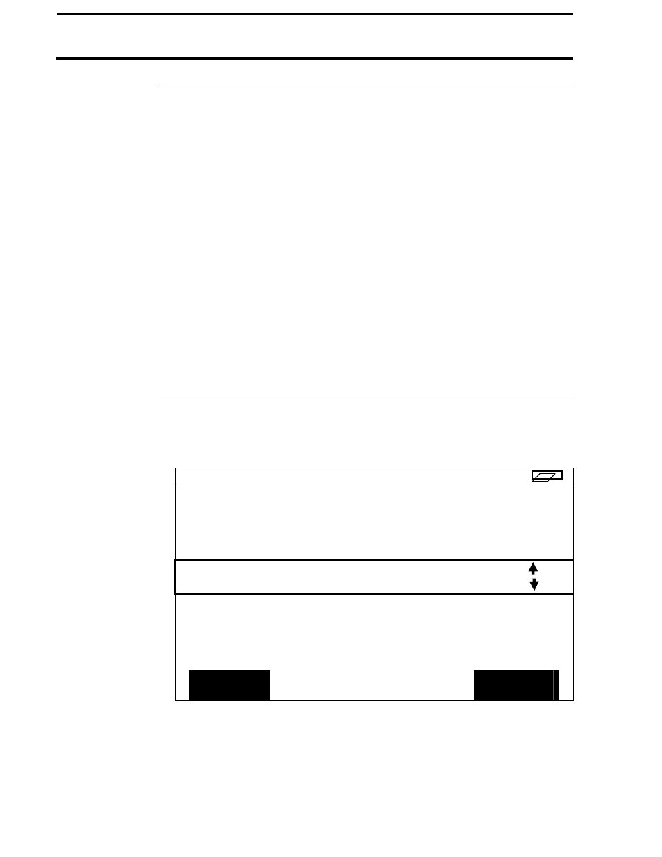
Navigate Screen
To use either navigate function, press the MENU key until OPTIONS is
displayed and press OPTIONS key. Press the NAVIGATE key to display the
following:
F1: HESTERSE
L1:
DG
TARGET TYPE:
FILE
ACCEPT
EXIT