Data lines for type = blended – ABAQUS Volume II: I–Z User Manual
Page 196
*NMAP
by the distance between points a and b. The line between points a and b defines the
position.
For every value of
the -coordinate is defined in a plane perpendicular to the plane defined by
the points a, b, and c and perpendicular to the axis of the toroidal system.
lies in the plane
defined by the points by a, b, and c.
Set TYPE=BLENDED to map via blended quadratics in an ABAQUS/Standard analysis.
Data lines for TYPE=RECTANGULAR, CYLINDRICAL, DIAMOND, SPHERICAL, or TOROIDAL:
First line:
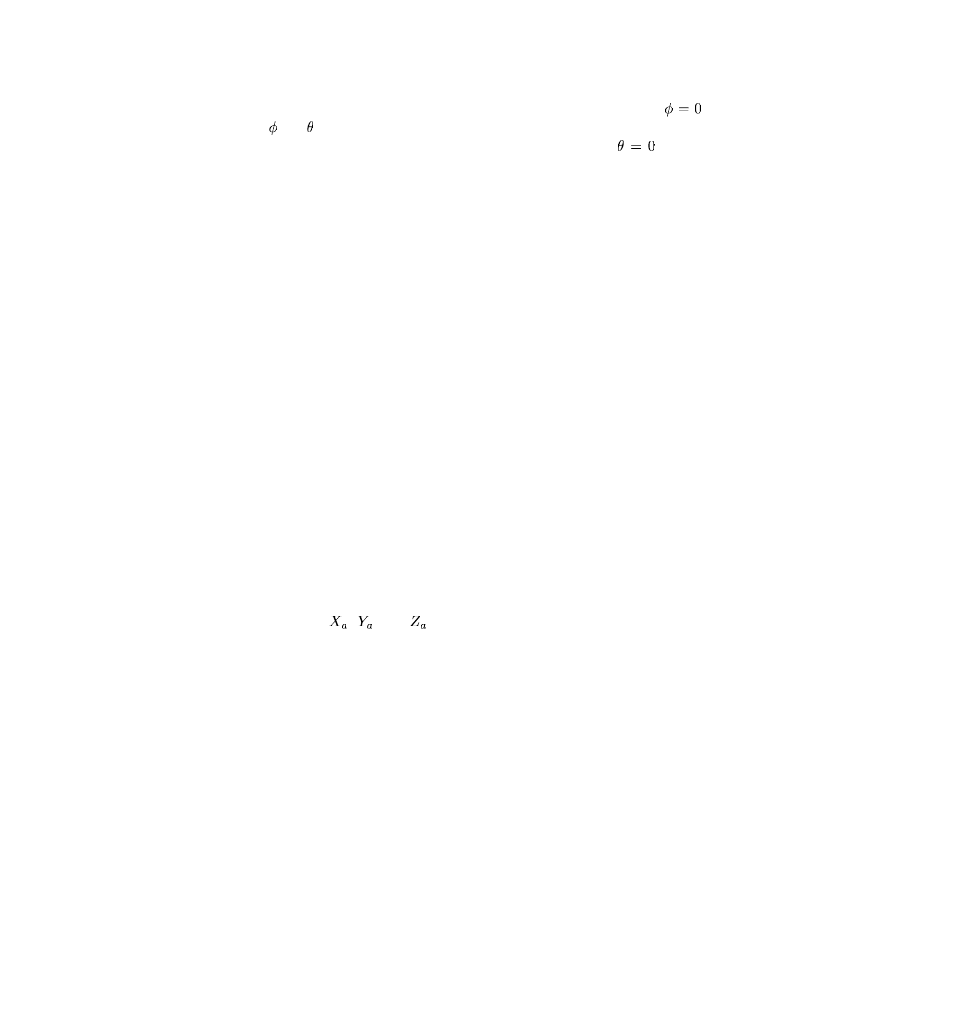
1. X-coordinate of point a (see Figure 14.4–1).
2. Y-coordinate of point a.
3. Z-coordinate of point a.
4. X-coordinate of point b.
5. Y-coordinate of point b.
6. Z-coordinate of point b.
Second line:
1. X-coordinate of point c.
2. Y-coordinate of point c.
3. Z-coordinate of point c.
The following fields are needed only for TYPE=DIAMOND:
4. X-coordinate of point d.
5. Y-coordinate of point d.
6. Z-coordinate of point d.
If TYPE=RECTANGULAR is specified and only point a is given, the coordinates of the nodes in
the set are simply shifted by
,
, and
.
Third line:
1. Scale factor to be applied to the first local coordinate before mapping. If the value entered is
zero or blank, a scale factor of 1.0 is assumed.
2. Scale factor to be applied to the second local coordinate before mapping. If the value entered
is zero or blank, a scale factor of 1.0 is assumed.
3. Scale factor to be applied to the third local coordinate before mapping. If the value entered is
zero or blank, a scale factor of 1.0 is assumed.
Data lines for TYPE=BLENDED:
First line:
1. Node number of the first control node.
2. X-coordinate of the point to which this control node is to be mapped.
14.4–2
ABAQUS Version 6.1
Module: ID:
Printed on: