Boundary settings, Create boundary, Boundary settings create boundary – Ag Leader Compass Manual User Manual
Page 50
42
Firmware Version 5.4
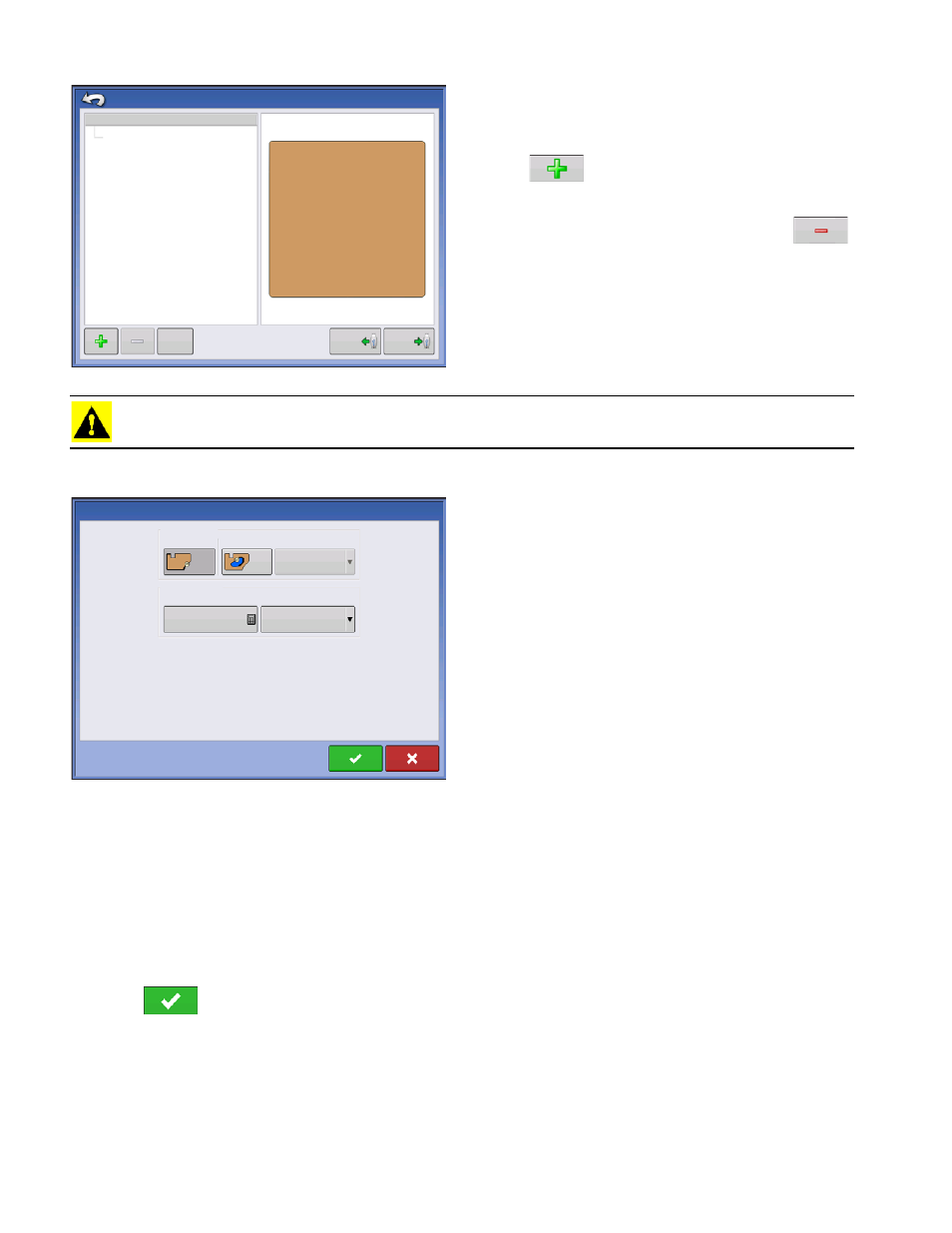
On the Boundary Options screen, you can Import
Boundaries, Export Boundaries, and Clear All
Boundaries.
Pressing
on the Boundary Options screen
opens the Boundary Settings screen.
Highlighting an existing region and pressing
on deletes that region.
Use Import and Export buttons to move regions to
and from USB drive.
Clear All Boundaries. Press Clear All to permanently
delete all Boundary information for that field.
CAUTION: Once you clear this information, it cannot be retrieved.
Boundary Settings
Underneath the Boundary Type area, you have the
choice of creating either an Outer Boundary or an
Inner Boundary.
• Outer boundaries delineate the borders of an entire
field.
• Inner boundaries mark specific features within that
field, such as waterways or buildings.
Create Boundary
1. Choose whether to create either an Outer boundary or Inner boundary by pressing one of the two
Boundary Type buttons.
2. If you chose to create an Inner Boundary, use the Region Type drop-down menu to choose the type
of boundary. Choices include: Roadway, Body of Water, Waterway, Buildings or Undefined.
3. The Boundary Offset feature enables mapping a boundary at a user-defined distance to the left or right
of the GPS antenna center line. If desired, specify a Boundary Offset distance by choosing a direction and
distance from the GPS antenna center line.
4. Press
to start the boundary.
Region
Boundary Options
OUTER (39.74)
39.74
Import
Export
Clear All
Boundary Type
Boundary Settings
Outer
Inner
Region Type
Undefined
Boundary Offset
Distance
0
Left
Direction