03 gps, What is gps, Position determination principle – Kenwood TM-D710GE User Manual
Page 18: Datum (geodetic survey system)
03 GPS
14
What is GPS?
GPS, standing for Global Positioning System, is becoming common nowadays. Following is a brief introduction.
The American Defense Department developed GPS originally for military operations. The system is available for use by
the general public. For example, anybody can use GPS in association with modern vehicle navigation systems. Position
precision for public use is approximately 10 m. Moreover, precision can be improved when used for vehicle navigation
and aboard ships through use of map matching technology and differential GPS techniques.
A total of 24 GPS or more satellites are at a high‑level altitude of approximately 20,000 km on six circular tracks with
orbital radii of approximately 26,000 km. Therefore, there are four or more satellites located in each orbital track. For
civilian use, the RF carrier frequency of the satellites is 1575.42 MHz. Spread spectrum (SS) technology is used over a
bandwidth of 2.046 MHz to prevent interference among all the satellite signals on a common carrier frequency. Due care
must be taken when installing amateur radio equipment and antennas for use on the 430 MHz or 1200 MHz bands to
prevent from interfering with GPS signals.
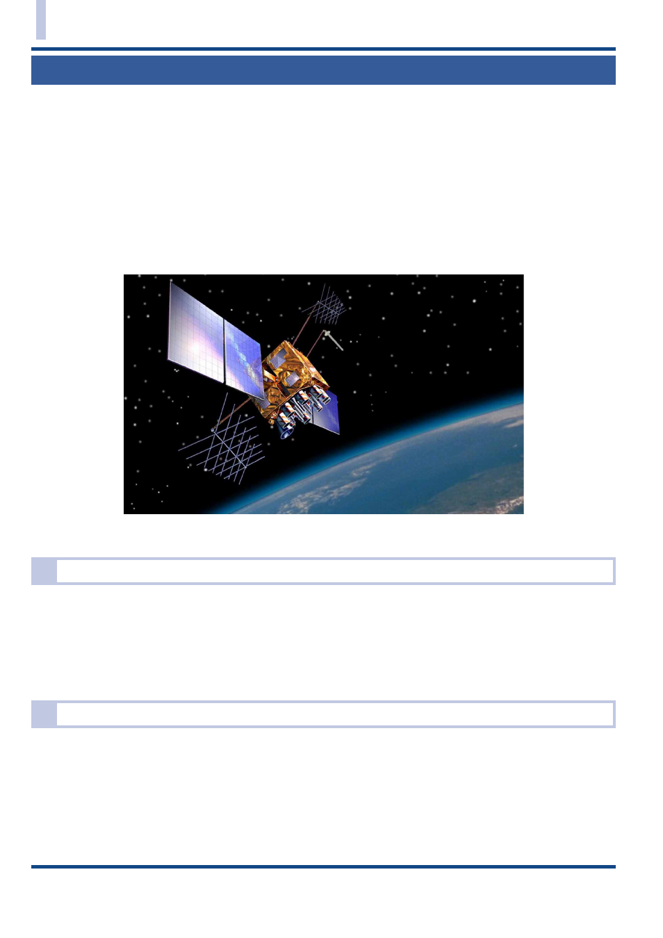
Fig. 3-1 GPS IIR Satellite in Orbit
Position Determination Principle
The GPS receiver receives the radio signals transmitted from the GPS satellites. The receiver measures the time
duration between when the signal leaves the satellite and when the signal arrives at the GPS receiver. Knowing this
time allows calculation of the distance that the signal traveled from that particular satellite. By receiving multiple signals
from different satellites and doing this distance calculation multiple times, the intersection of the spherical surfaces that
represent the respective radius distances to the various satellites will determine a single point. The precision of the
determination of the intersecting point relies on the satellites and the data collected.
Datum (Geodetic Survey System)
The latitude and longitude information required by the GPS receiver does not allow for accurate representation of the
unevenness of the Earth’s surface. For use with GPS, the current standard that defines the precise shape of the Earth
is called WGS‑84. By using this standard in conjunction with mapping standards for each country, accurate position
plotting on a map can be done.