Base collecting raw data – Spectra Precision ProMark Field Software User Manual
Page 28
English
22
Base Collecting
Raw Data
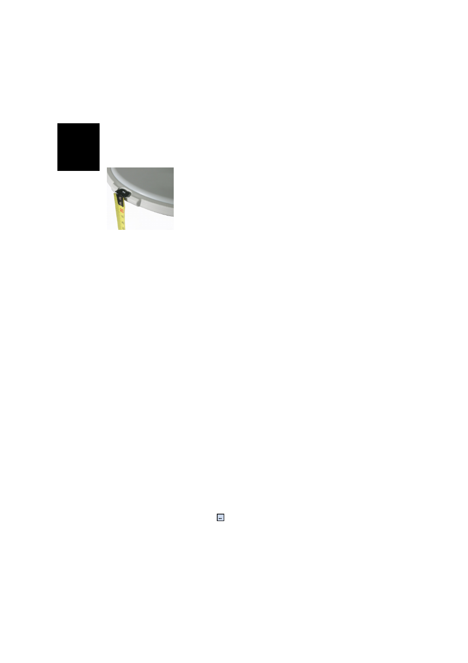
• Set up the base at its planned location as explained in
Typical Setups on page 21. Measure the antenna height
according to the slant measurement method, using the HI
tape provided:
– Insert the end of the tape into one of the three height
marks located at the edge of the antenna radome (as
shown).
– Unfold the tap until you place the tip located at the
other end of the tape on the reference point.
– Read the graduation directly on the tape: This is the
slant antenna height.
• Turn on the receiver, run ProMark Field and create a job
as explained in Creating a New Job on page 11.
• Go to
Menu>Options. On the Survey tab, select “Post-
processing” as the survey mode. As the survey type,
“Static” should logically be selected but when the
receiver is configured as a base, the survey type setting is
simply ignored.
• Tap
OK.
• Tap
Menu and select Configuration...
• Select “Base” from the Configuration drop-down list
• Tap
Settings.
• On the
GNSS tab, make sure the “Internal” GNSS receiver
is selected. Ignore the
Port field.
• Tap on the
Antenna tab,
• Enter the antenna height you have just measured and
select “Slant”, corresponding to the measurement
method used.
• Select the antenna type used. Keep the
Virtual Antenna
option cleared.
However, if you plan to post-process the collected base
data in some office software other than GNSS Solutions,
you will need to enable this option if the base antenna
used is not known to this software. In that case, the
collected raw data will be adjusted as if they had been
collected with the standard ADVNULLANTENNA.
• Tap on the
Site tab. In the Site ID field, enter a name of your
choice for the point where the base is installed (e.g.
“BASE”). This name will be saved in the base raw data
file, not in the job file.
If however a point accurately describing the base position
is stored in the job, you can select this point after tapping
on the
button. In that case, the existing point name