Navigation, Map operation and map settings – Mercedes-Benz CL-Class 2014 COMAND Manual User Manual
Page 114
=
Current vehicle position: longitude
coordinates
?
Number of GPS satellites currently being
used
There must be sufficient GPS reception for all
displays to be shown. If this is not the case,
the display will be grayed out. Height
display : may vary from the actual value,
because the navigation system uses the GPS
signals for the calculation.
During the "Move map" function, you will see
the geo-coordinates of the crosshair position.
Height display : and number of satellites
used ? are not displayed.
Display switched off
:
Current map orientation
While moving the map, you will see additional
data, depending on the crosshair position, if
the digital map supports this data. A street
name, for example, can be shown here
(
Y
page 108).
Coordinates on the map
X
To show the menu: press W the COMAND
controller.
X
Select
Navi
in the main function bar by
sliding ZV and turning cVd the COMAND
controller and press W to confirm.
X
Select
Map Settings
and press W to
confirm.
The map settings menu appears.
X
Select
Compass On Map
and press W to
confirm.
A menu appears.
X
Select
Never
,
When Off-Road
or
When
Route Guidance Inactive
and press W
to confirm.
The selected setting is accepted.
Switching additional information on/
off
Switching the topographic map on/off
X
To show the menu: press W the COMAND
controller.
X
Select
Navi
in the main function bar by
sliding ZV and turning cVd the COMAND
controller and press W to confirm.
X
Select
Map Settings
and press W to
confirm.
The map settings menu appears.
X
Select
Topographic Map
and press W to
confirm.
Depending on the previous status, switch
the option on O or off ª.
The topographical map uses different colors
to depict elevation. The color key generally
reflects the topography's dominant
vegetation or the ground's perceived color
when seen from the air, for example:
R
green (grass) for lowland
R
yellow, brown (woodland) for hills
R
gray (stone) and white (snow) for
mountains.
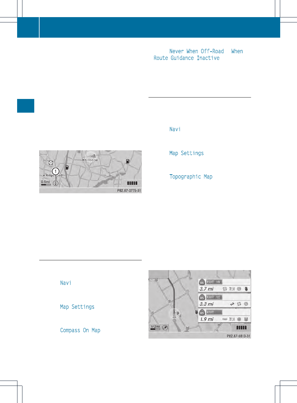
Example: highway information
Switching highway information on/off
112
Map operation and map settings
Navigation