Flytec 6030-gps – Flytec 6030 * User Manual
Page 19
Flytec 6030-GPS
19 / 62
Therefore, first change into route selection by prolonged pressing of the
;
/Route key and
with the help of the F2 key (Cancel Route) deactivate the Route.
2.6.4.2 Display of actual Coordinates
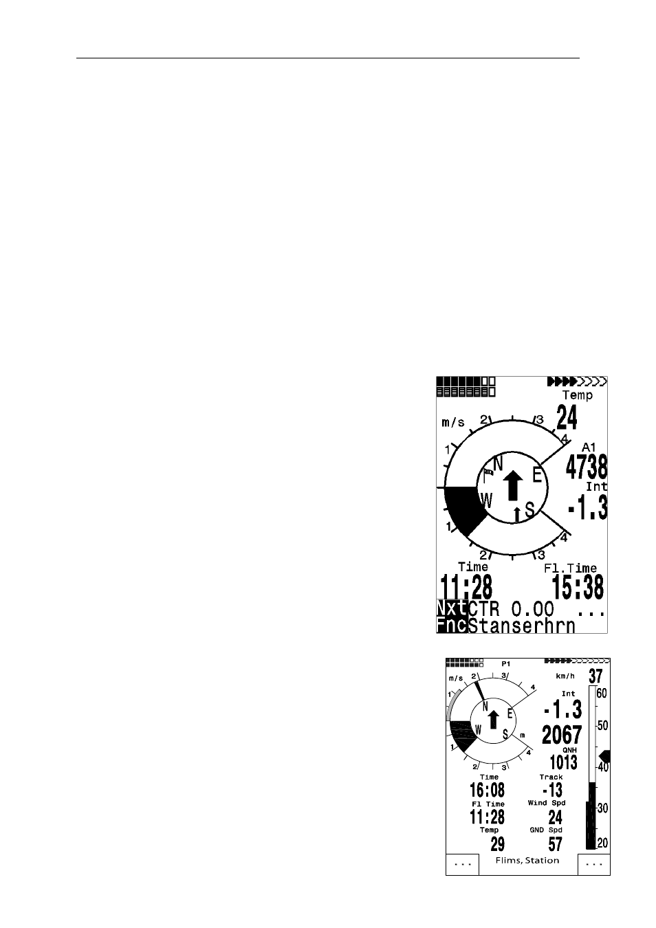
If the FLYTEC 6030 GPS receives satellites by GPS-Receiver, the actual position is
displayed by pressing the Info key in the instrument’s information field. After 20 sec.
the previous display screen will automatically reappear. This function is useful in relaying
your location after landing to some person who will retrieve you from there.
2.6.4.3 Memorising the actual position
It may happen from time to time that the current position should be saved as waypoint.
For this purpose the McC ; /Mark key should be pressed during 3 seconds. In response
a double beep will chime and the momentary Coordinate shall be saved in the memory
as a waypoint.
As the WP name the FLYTEC 6030 GPS uses the letter M (for marker) and after it the actual
date and the time of day in UTC.
Example: M.22.04. 11:16:49 stands for 22nd April at 11 hrs. 16 min. 49 seconds (UTC).
Naturally this WP name may be changed later into a more meaningful name, for ex.
Fiesch Airfield".
2.6.4.4 Distance to Waypoint (Dist to WP)
Only in case a waypoint has been selected manually
or automatically with the "Goto" function, the horizontal
distance seen from the viewer to the waypoint is displayed.
The scale is 10 m ( for distance under 10 km ) otherwise 0,1 km.
Please read: 2.6.4.5 Goto – Function
Also when the WP is used as turning point in a competition,
it is always the distance to the centre of the cylinder which
is displayed.
2.6.4.5 Goto – Function
Prolonged pressure on the ;/Goto key switches the lower
half of the instrument into the ‘Goto’ mode. This function
allows you to search for a waypoint stored in the memory of
the FLYTEC 6030 GPS and to choose it for a flight to goal.
At the same time the next 5 waypoints are listed in the order
of
shortest distance to the user. The 1
st
number behind the WP
name indicates the distance in km. The 2nd number shows the
direction (=Bearing) from the actual position to WP.
After pressing the F1 (Displ.AIti.) key the precalculated arrival
altitudes to the 5 WPs are shown instead of distance.
In practice there are 5 final approach (final glide) calculations to
the WPs active at the same time. Caution: It is only the WP to
which the pilot is directly flying to ( ±/20 ° ) , for which the wind
component is also taken into account for the calculation.
The F1 (Displ.Dist.) key also switches back to the distances.
If a waypoint has been selected with the▼ key, it can be accepted
by the Ok key. The Goto function can be deactivated with the
F2 (Cancl Goto ) key.