Juniper Systems Juniper Aspect User Manual
Page 40
36
Juniper Aspect Owner’s Manual
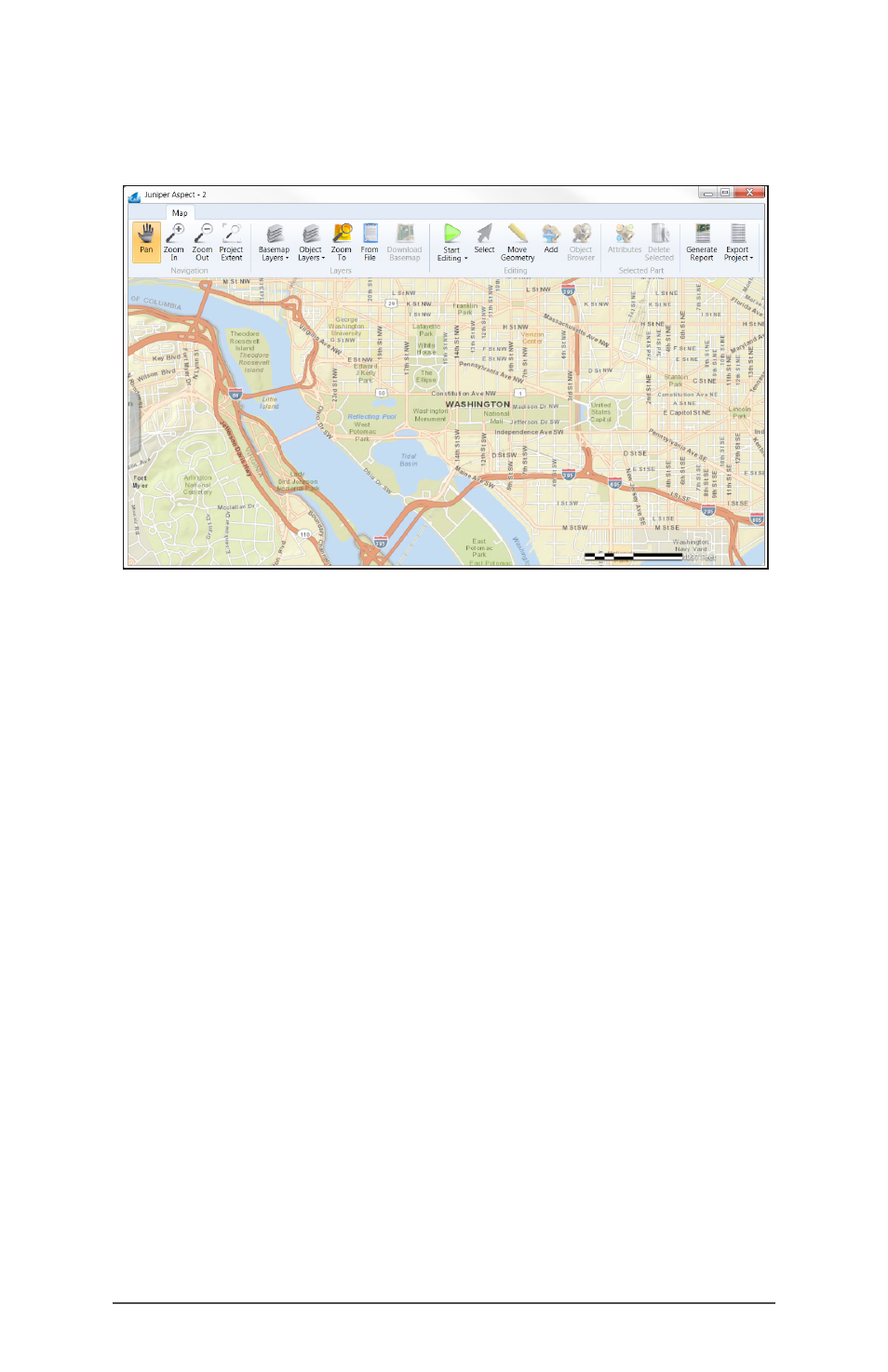
As the map zooms in, the detail becomes greater and
more features are revealed.
Always wait for the basemap and/or streetmap to
completely draw before performing any mapping.
When you pan or the map zooms in or out, a progress
bar appears at the bottom of the screen and grows. The
map is completely drawn when the progress bar at the
bottom hits 100% and then hides again.
Note: Be aware that map data for specific locations
is not always available, might not be available at the
highest resolution, and can be outdated. Professional
license users can switch between basemaps to get
better imagery.
Navigating to a Location by Loading Existing CAD Data
Another way to get to a desired location is by loading
existing data. If you have the professional edition of
Juniper Aspect, you can load CAD data that has been
georeferenced correctly onto the project map.
CAD data has to be created from ArcGIS or referenced
properly in AutoCAD
®
using the ArcGIS for AutoCAD
®
extension. In ArcGIS, if you have GIS files that you want
to use and they are properly adjusted spatially, go into
ArcToolbox and export the GIS files into CAD (any version