Sirius wea th er, Sirius weather – Mercedes-Benz S-Class 2014 COMAND Manual User Manual
Page 269
Explanation of the layers on the weather map
R
Radar Map
Radar Map
Displays the rain radar as a color area in all map scales. For an explanation of the colors,
see the legend (
Y
page 271).
R
Storm Characteristics
Storm Characteristics
Displays the characteristics of a storm in all map scales.
-
tornadic storm:
storm cell with strong winds (super cell), from which a tornado can develop. Tornadoes
are also known as twisters.
-
cyclone:
storm cells from which a tornadic storm can develop
-
hailstorm
-
the likelihood of a hailstorm
R
Storm Watch Box
Shows areas (in red) for which severe weather warnings have been issued. It is shown in
map scales 50 mi (50 km), 200 mi (200 km) and 500 mi (500 km).
R
Atmospheric Pressure
Atmospheric Pressure
Shows the position of high and low-pressure areas (H, L), weather fronts and isobars It is
shown in map scales 200 mi (200 km) and 500 mi (500 km).
R
Tropical Storm Tracks
Tropical Storm Tracks
Shows the direction and speed of propagation (track) of a tropical storm in all map scales
with information on times and intensity.
R
Winds
Winds
Shows the wind direction and wind speed in map scale of 5 mi (5 km).
Sample displays of weather data in the map
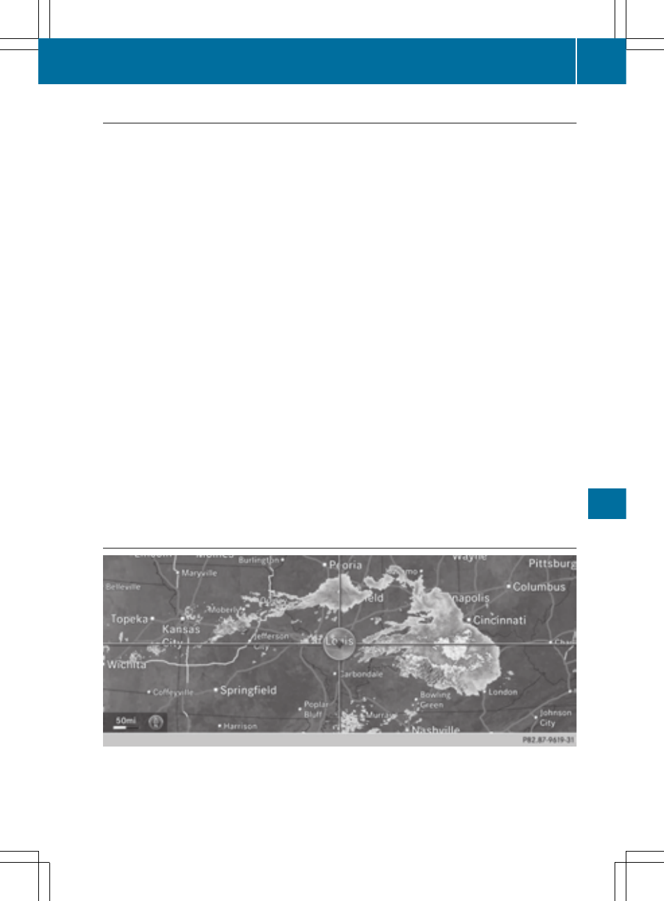
To display the rain radar:
X
Activate the
Radar Map
Radar Map
display level (
Y
page 266).
The rain radar image is then displayed if weather data is available.
SIRIUS Weather
267
SIRIUS
Wea
th
er