Navigation, Map functions – Mercedes-Benz S-Class 2014 COMAND Manual User Manual
Page 112
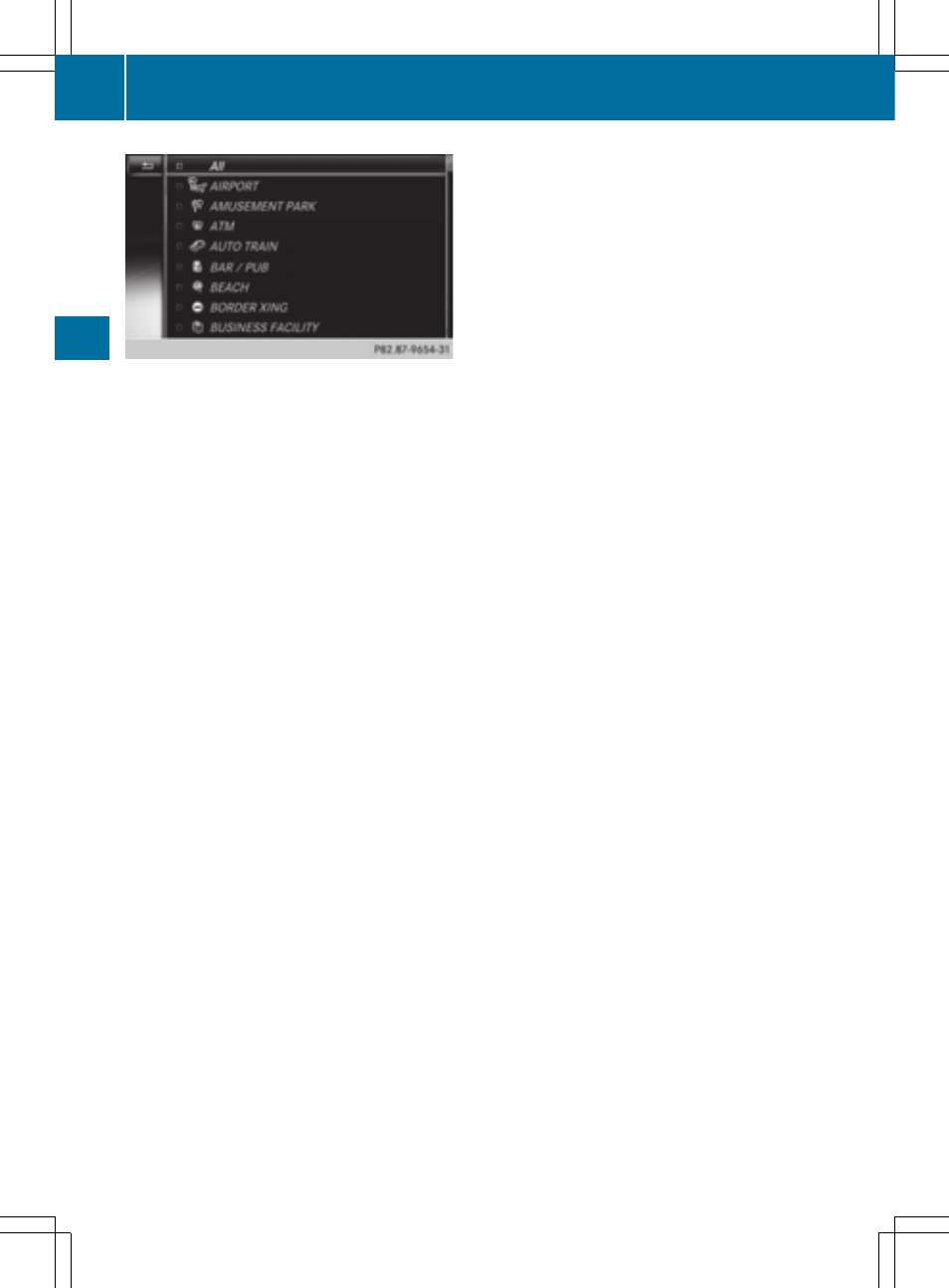
X
Turn and press the controller.
You have the option of selecting symbols to be displayed O or not displayed ª on the
map.
i
The list shows all symbols that are contained on the digital map across all countries.
However, not all points of interest are available in all countries. As a result, certain point of
interest symbols may not be displayed on the map, even if the symbol display is switched
on.
Selecting text information on the map
X
To switch to navigation mode: press the ß button.
X
To show the menu: press the controller.
X
To select
Options
Options
: turn and press the controller.
X
Select
Map Content
Map Content
.
X
Text Information On Map
Text Information On Map
The # dot indicates the current setting.
X
Turn and press the controller.
Current Street
Current Street
shows the current street at the bottom of the display.
Geo-coordinates
Geo-coordinates
shows the longitude and latitude, elevation and number of satellites
received.
X
Turn and press the controller.
i
The elevation shown may deviate from the actual elevation.
Switching freeway information on/off
X
To switch to navigation mode: press the ß button.
X
To show the menu: press the controller.
X
To select
Options
Options
: turn and press the controller.
X
Select
Map Content
Map Content
.
X
Select
Highway Information
Highway Information
.
Switch the display in the map on O or off ª.
Displaying the next crossroads
X
To switch to navigation mode: press the ß button.
X
To show the menu: press the controller.
X
To select
Options
Options
: turn and press the controller.
110
Map functions
Navigation