Navigation, Navigation functions – Mercedes-Benz S-Class 2014 COMAND Manual User Manual
Page 119
X
Turn the controller to display the navigation
functions one after another.
X
Press the controller to change to the map.
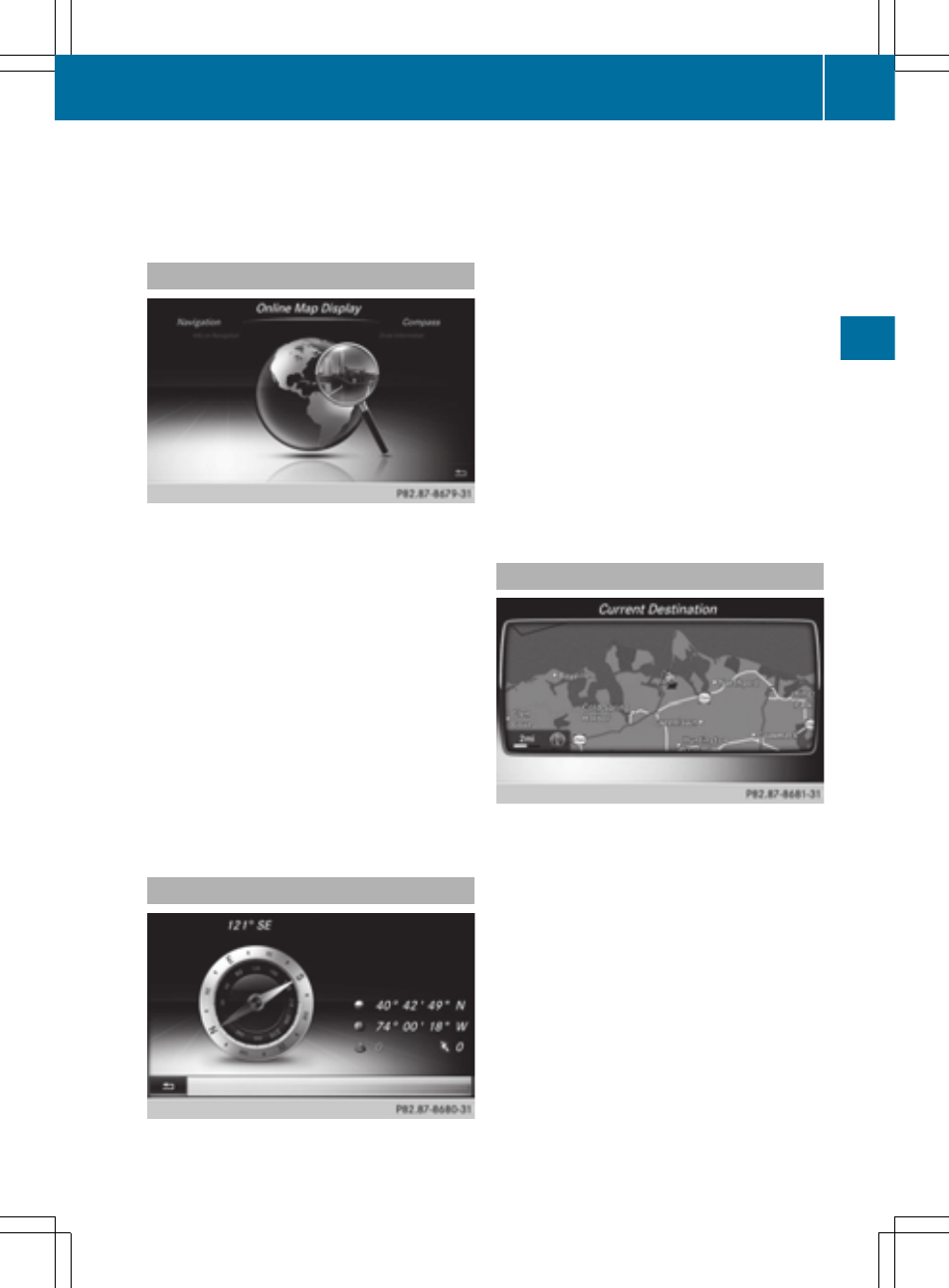
Calling up the online map display
Requirement: a mobile phone with a data
package is connected to COMAND
(
Y
page 124).
X
Call up the navigation menu (
Y
page 116).
X
Turn the controller until
Online Map
Online Map
Display
Display
is brought to the front.
X
Press the controller.
The online connection is established. Once
the connection is established, the Google™
Maps map appears around the current
vehicle position.
X
Change the map scale and move the map.
X
To exit the online map display: press the
% button.
Calling up the compass display
X
Call up the navigation menu (
Y
page 116).
X
Turn the controller until
Compass
Compass
is brought
to the front.
X
Press the controller.
The compass display provides the following
information:
R
The current direction of travel with
direction angle (360 degree format) and
compass direction
R
Longitude and latitude coordinates in
degrees, minutes and seconds
R
Height (rounded up) above sea level
R
Number of GPS satellites from which
a signal can be received
X
To exit the compass display: press the
% button.
Drive Information
X
Call up the navigation menu (
Y
page 116).
X
Turn the controller until
Drive
Drive
Information
Information
is brought to the front.
X
Press the controller.
The
Starting Drive Information.
Starting Drive Information.
Please wait...
Please wait...
message appears.
You will then see maps with the current
vehicle position and the vicinity of the
destination in different scales, these are
automatically displayed one after another.
X
To exit Drive Information: press the
controller.
X
Press the % button.
Navigation functions
117
Navigation
Z