Coordinate systems, Choosing a coordinate system – Spectra Precision MobileMapper Field & Office Software User Manual
Page 46
English
38
Coordinate Systems
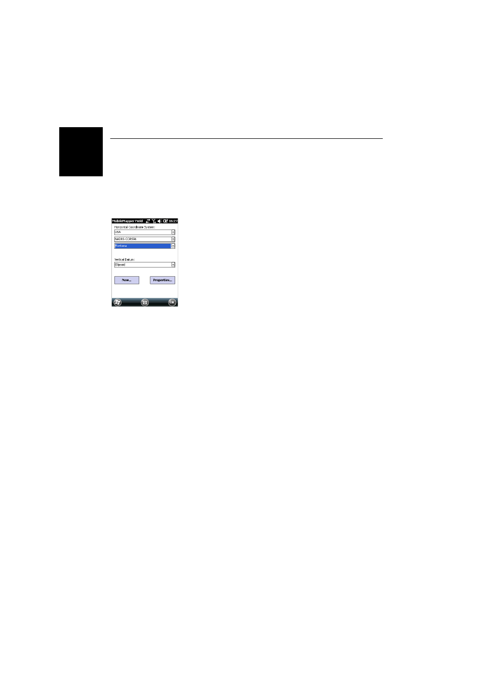
When creating a new DXF job or when creating a layer as the
first layer in a new *.map job, MobileMapper Field asks you
to define a coordinate system.
Choosing a
Coordinate System
Proceed in this order:
1. Choose the World Geodetic System or the country where
your field operations will take place
2. In the field just underneath, choose the datum used
3. In the field just underneath, choose the projection used.
4. Choose the vertical datum in the last field. The default
possible choices are:
–
Ellipsoid: Each altitude or height value is simply
determined with respect to the selected ellipsoid
(second field above).
–
EGM84: Each altitude or height value is still initially
determined with respect to the selected ellipsoid but a
correction is applied to that value. The correction is
read from the EGM84 geoid (Earth Geoid Model 1984,
a global geoid model) and is specific to the computed
horizontal position.
Other geoid models may be downloaded to the receiver via
the MobileMapper Software CD from our website. Once
downloaded, they are made available as possible choices
in the
Vertical Datum field.
The
Properties... button at the bottom of the screen allows you
to view the properties of the selected datum and projection.
The
New... button at the bottom of the screen allows you to
create a user system (datum + projection).