Vnow: off enter profile – Garmin GPS 89 User Manual
Page 46
Attention! The text in this document has been recognized automatically. To view the original document, you can use the "Original mode".
kr
Mttrn Mniii/
¡(}-B
Vertical Nawigarion Fniiction
The last option featured on the GPS 89’s E6-B menu is
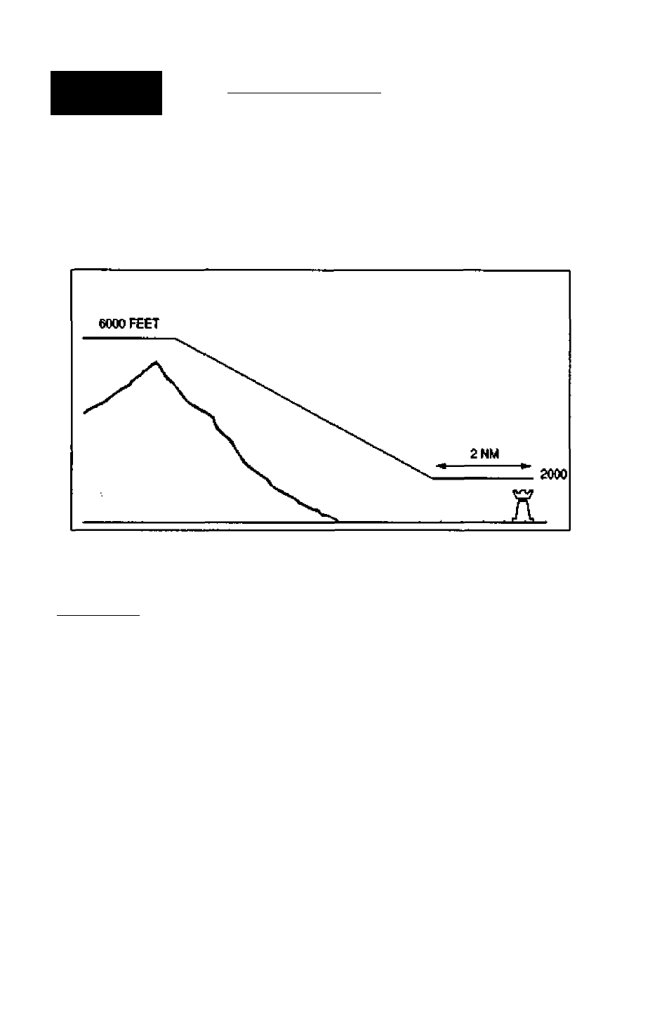
the vertical navigation (VNAV) function, which lets yem cre
ate a rate of descent profile from your present position and
altitude to a final altitude at a specified location. To use the
VNAV feature, your aircraft^ ground speed must be greater
than 35 knots, and you must be navigating an active GOTO
or route.
UEKTICflL Hau
From: 5100^
To:
3500^
By:
3,0m
Before
Wpf: KMKC
flt:
17fpm
Vnow: Off
Enter Profile
Willie on
an
nctive GOTO,
you may erejie dwiijcal
deanl pmfic by
uslfig ihe
VNAV/unerton.
42
lb perfonn a VNAV calculation:
1. Highlightthe ‘From'field and press A.
2. Enter the tnitial altitude and press A.
3. Press A to begin entry of the final ffo) ahitude.
4. Enter the desired final altitude and press A.
5. Press 4i to begin entry of the offset (the distance from
the waypoint youll be referencing for your final alfitude).
G. Press and use the arrow keypad to select the
'Before' or 'Aftef option for the distance offset
7. Press
4M
to confirm.
8. Press and use the arrow keypad to enter the way-
pointyou want to use as a reference for your final altitude.
If you are navigating an active route, the waypoint field
will offer die route waypoints tor the reference waypoint
9. Press A to confirm the waypoint The vertical speed for
the descent will appear in the 'AT field.