Traffic information on map -12 map menu screen -12, Navigation – NISSAN 2015 Murano - Navigation System Owner's Manual User Manual
Page 96
6. Navigation
TRAFFIC INFORMATION ON MAP
With a subscription to the SiriusXM Traffic, traffic
information is displayed.
“Traffic information on map” (page 6-44)
Free Flow: Green arrow
Moderate traffic: Yellow arrow
Heavy traffic: Red
Section affected by serious traffic event: Purple
The following traffic information icons may be
displayed.
: Accident
: Closed road
: Information
: Road work
: Slippery road
: Weather
: Incident
INFO:
Traffic icons are displayed in the scale level of
1/64 miles (25 m) - 5 miles (10 km) range. Some
traffic icons are displayed only on the map at
higher detail levels.
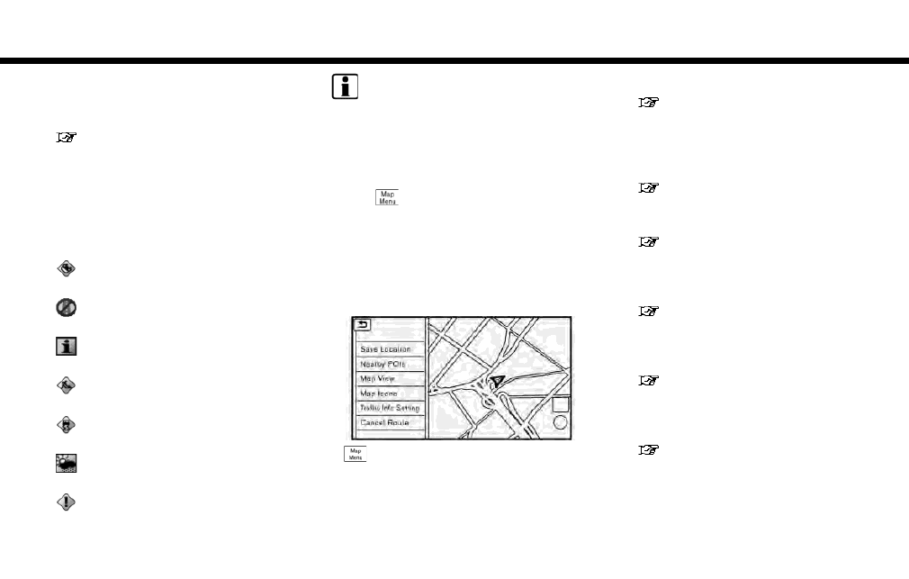
MAP MENU SCREEN
Touch [
] while the current location map
screen or a scrolled map screen is displayed to
display the menu corresponding to that screen.
This menu can be used to quickly access helpful
functions, such as setting a destination and
searching for points of interest nearby.
Current location map screen
If [
] is touched while the current location map
screen is displayed, the following options are
available.
. [Save Location]:
Stores the current vehicle location in the
Address Book.
“Storing location by moving map”
(page 6-47)
. [Nearby POIs]:
Searches for points of interest near the
current vehicle location.
“Finding nearby place” (page 6-16)
. [Map View]:
Map view settings can be changed.
“Map view settings” (page 6-8)
. [Map Icons]:
The facility icons can be displayed or hidden
by type.
“Displaying facility icons” (page 6-11)
. [Traffic Info Setting]:
Set the various functions of the NavTraffic
information system.
“Traffic information on map”
(page 6-44)
. [Cancel Route]:
Delete destination and waypoints.
“Canceling Route” (page 6-34)
6-12