Navigation – NISSAN 2015 Murano - Navigation System Owner's Manual User Manual
Page 89
the map orientation.
“Changing map view and map orienta-
tion” (page 6-8)
*
11
Remaining distance to the destination:
Indicates the approximate remaining dis-
tance to the destination or waypoint. This
indicator will appear when a destination or
waypoint is set and route guidance is
started.
The arrow displayed here indicates the
direction of the destination. It can be
displayed only when the map scale is in
the range of 1/64 miles (25 m) - 1/8 miles
(200 m).
*
12
Estimated time to the destination:
Indicates the estimated time to the destina-
tion or waypoint. This indicator will appear
when a destination or waypoint is set and
route guidance is started.
“Guidance settings” (page 6-39)
*
13
Traffic indicator:
Indicates the reception condition of the
traffic information transmitted from the
provider.
Green: Reception condition is good.
Gray: Reception condition is not good.
The indicator does not appear without a
SiriusXM Traffic subscription.
*
14
Vehicle icon:
Indicates the current vehicle location and
the direction the vehicle is heading.
*
15
Suggested route:
Appears in bold blue during route guidance.
*
16
Stored location (yellow):
Displays the locations that are stored in the
Address Book. The icons can be changed
according to your preferences.
“Storing location” (page 6-46)
*
17
Street name:
Displays the name of the street that the
vehicle is currently driving on.
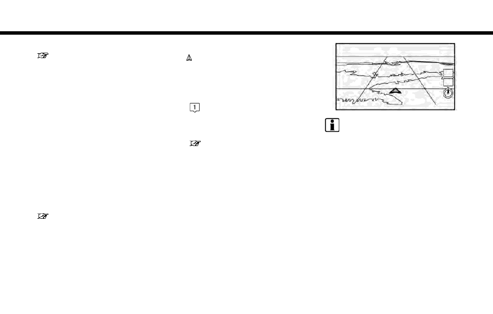
Birdview
TM
(3D) map
Birdview
TM
displays the map from an elevated
perspective. In Birdview
TM
, it is easy to recognize
an image of the route because it provides a
panoramic view over a long distance.
INFO:
Note the following items about the Birdview
TM
display.
. “Birdview
TM
” is a registered trademark of
Clarion Co., Ltd.
. The map in Birdview
TM
always appears with
the current forward direction facing up.
Building graphics
In an area where the building graphics are stored
in the map data, the building graphics are
displayed when the map is zoomed in. On the
2D map display, these are called “Building
footprint graphics”, and on the Birdview
TM
dis-
play, these are called “3D building graphics”.
6. Navigation
6-5