Co ma nd, Navigation – Mercedes-Benz SL-Class 2014 Owners Manual User Manual
Page 378
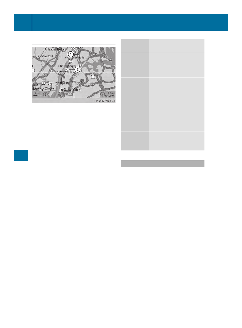
Traffic information on the map
:
Delimits the section of the route affected
;
Indicates an incident on the route (traffic
flow)
If you subscribe to the SIRIUS XM Satellite
Radio Traffic Message Service, traffic
information can be displayed on the map. You
can select three categories for the display.
X
To switch the display on/off: press W
the COMAND controller to show the menu.
X
Select
Navi
Navi
in the main function bar by
sliding ZV and turning cVd the COMAND
controller and press W to confirm.
X
Select
Traffic
Traffic Information
Information On
On Map
Map
and
press W to confirm.
X
Select
Incidents
Incidents
and/or
Speed & Flow
Speed & Flow
and/or
Free Flow
Free Flow
and press W to
confirm.
Depending on the previous status, switch
the option on O or off ª.
Traffic
information
Display on the map
Incidents
Road sections with traffic
incidents are illustrated
with a yellow line and
arrows.
Speed &
Flow
Road sections with traffic
jams are represented by
yellow or red lines.
Yellow lines: traffic jams,
average speed 25 - 45 mph
(40 - 72 km/h)
Red lines: traffic jams,
average speed 5 - 20 mph
(8 - 32 km/h)
Free Flow
Free flowing road sections
are illustrated with a green
line and arrows.
Additional settings
Avoiding an area
General information
COMAND enables you to avoid areas you do
not wish to drive through.
If you activate or deactivate a route block
while route guidance is active, COMAND will
calculate a new route. If you activate or
deactivate a route block while route guidance
is inactive, COMAND will use the new setting
for the next route guidance.
The calculated route may include an area to
be avoided if:
R
your destination is located in such an area.
R
the route uses roads that lead through an
area to be avoided.
i
Highways within blocked areas are always
taken into consideration in the route
calculation.
376
Navigation
CO
MA
ND