Garmin databases, Appendix b – Garmin G950 Tecnam 2006T User Manual
Page 322
Garmin G950 Pilot’s Guide for the Tecnam P2006T
190-01146-00 Rev. A
SY
STEM
O
VER
VIEW
FLIGHT
INSTRUMENTS
EIS
AUDIO P
ANEL
& CNS
FLIGHT
MANA
GEMENT
HAZARD
AV
OID
ANCE
AFCS
ADDITIONAL FEA
TURES
APPENDICES
INDEX
310
APPENDIX b
3)
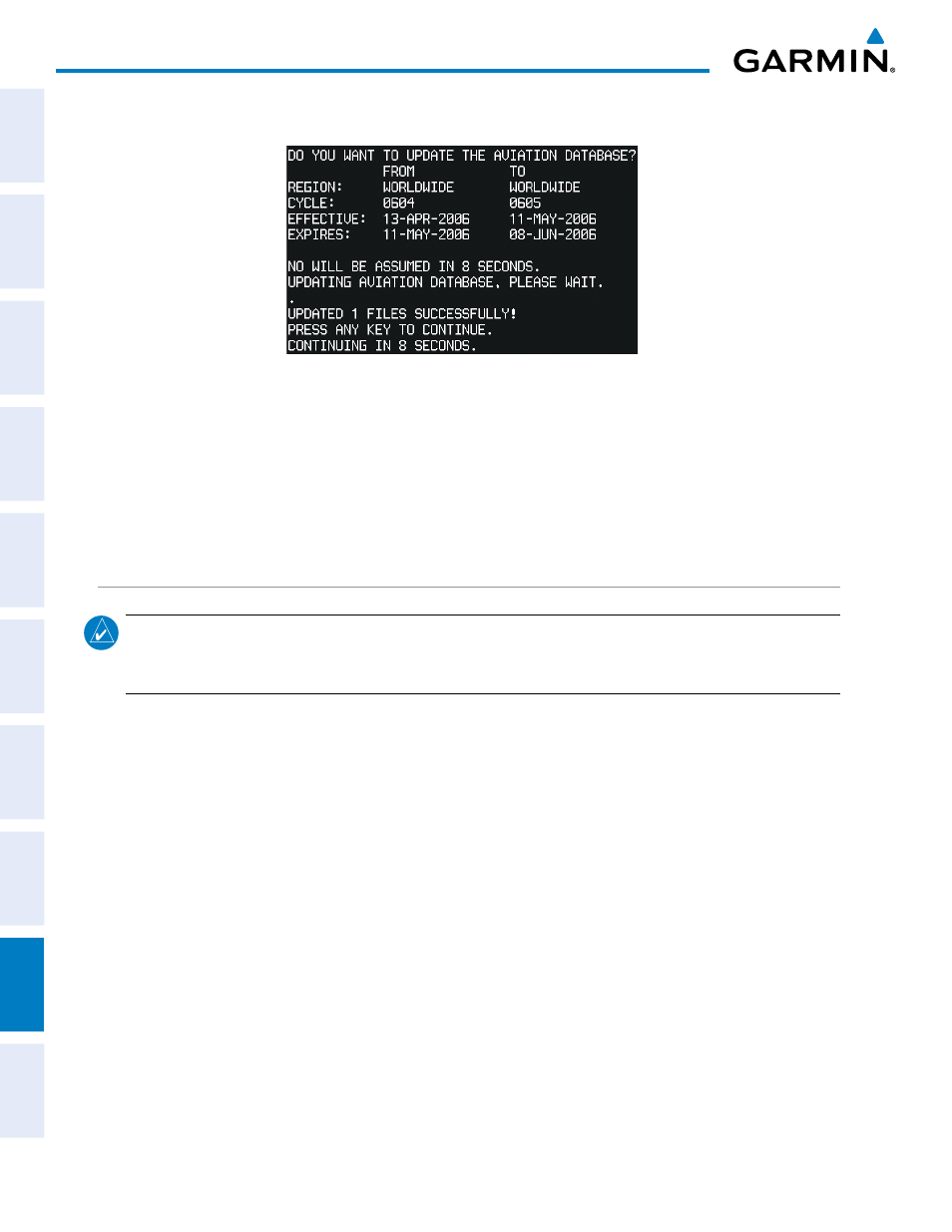
Press the ENT Key to start the database update. A prompt similar to the following is displayed:
Figure B-2 Database Update Confirmation
4)
After the update completes, the PFD continues to power-up normally.
5)
Turn the G950 System OFF and remove the SD card.
6)
Repeat steps 1 through 4 for the MFD. The MFD and PFD databases are now updated. Remove the SD card
when finished.
7)
Verify the correct update cycle is loaded during MFD power-up.
GARMIN DATAbASES
NOTE:
The data contained in the terrain and obstacle databases comes from government agencies. Garmin
accurately processes and cross-validates the data, but cannot guarantee the accuracy and completeness of
the data.
The following G950 databases are stored on Supplemental Data Cards provided by Garmin:
• Expanded basemap –The basemap database contains data for the topography and land features, such as
rivers, lakes, and towns. It is updated only periodically, with no set schedule. There is no expiration date.
• Terrain – The terrain database contains terrain mapping data. It is updated periodically and has no expiration
date.
• Airport terrain – The airport terrain database contains airport diagram data. It is updated periodically and
has no expiration date.
• Obstacle – The obstacle database contains data for obstacles, such as towers, that pose a potential hazard to
aircraft. Obstacles 200 feet and higher are included in the obstacle database. It is very important to note that
not all obstacles are necessarily charted and therefore may not be contained in the obstacle database. This
database is updated on a 56-day cycle.
• SafeTaxi – The SafeTaxi database contains detailed airport diagrams for selected airports. These diagrams aid
in following ground control instructions by accurately displaying the aircraft position on the map in relation
to taxiways, ramps, runways, terminals, and services. This database is updated on a 56-day cycle.