Viewing and deleting user waypoints and – BendixKing KLX 135A - Pilots Guide User Manual
Page 88
number indicates this particular satellite is not presently being
used in the navigation position solution.
•
The satellite’s “health” (Hlt) is indicated to the right of the satellite
number. This health information is transmitted by the satellites.
•
The signal-to-noise ratio (SNR in decibels) for each satellite is
displayed in the middle column and indicates the signal strength
for each satellite. The higher the SNR value the stronger the
signal. Values usable for navigation will be in the mid 30s to mid
50s; however, typical values are in the middle of this range.
•
The elevation (Ele) above the horizon for each satellite is
provided in the right column and will range from 5° to 90°.
3.13.2. VIEWING AND DELETING USER WAYPOINTS AND
WAYPOINT REMARKS
The OTH 3 and OTH 4 pages list the user-defined waypoints and
waypoint remarks, respectively, which are currently stored in the KLX
135A’s memory.
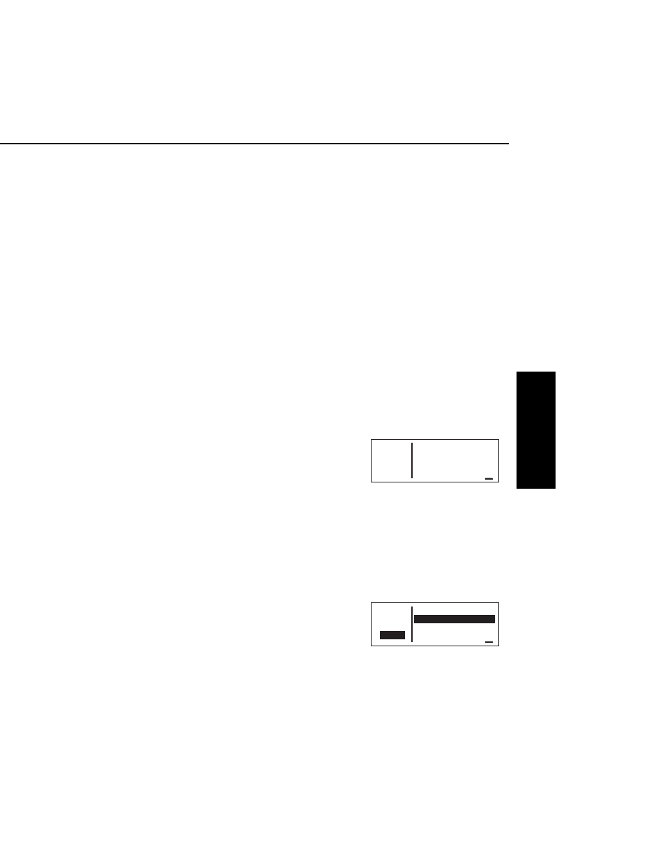
3.13.2.1.The OTH 3 Page
An example of an OTH 3 page is
shown in figure 3-172. All currently
stored user-defined waypoints are
listed in alphanumeric order. If the
user-defined waypoint is the active
waypoint, an arrow (
∆
) follows the
identifier. If the waypoint is used in
one or more flight plans, then the number of the first flight plan in
which it is used is displayed on the right side. If there are more than
three user waypoints in storage, you can see the rest of the list by
turning on the cursor (
B
) and turning the right outer knob to scroll
through the list.
To delete a user-defined waypoint from the OTH 3 page:
1.
Turn on the cursor and position it
over the desired waypoint
(figure 3-173). If there are more
than three user-defined waypoint,
you will have to scroll the cursor
down the list.
KLX 135A Pilot’s Guide
Basic GPS Operation
3-59
Effective Date 5/95
006-08789-0000 Rev 0
Basic GPS Operation
Chapter 3
APT VOR NDB SUP ACT NAV FPL CAL SET OTH
118.00 User Waypoints
136.97 LAKE
>Leg MYRWY 0
OTH+3 WPTX 5
Figure 3-172
APT VOR NDB SUP ACT NAV FPL CAL SET OTH
118.00 User Waypoints
136.97
LAKE
>Leg MYRWY 0
CRSR
WPTX 5
Figure 3-173