BendixKing KLX 135A - Pilots Guide User Manual
Page 80
Lines 3-4: The latitude and longitude of the VOR.
If the VOR is being viewed as part of
the
nearest VORs list (see section
3.8.1), the VOR 1 page format will dif-
fer as follows (see figure 3-146):
Line 1: After the VOR identifier, the
number designating the VOR’s
position in the nearest VOR list is displayed. In figure 3-146, MEX is
the second nearest VOR.
Lines 3-4: In place of the latitude/longitude, line 3 is blank and line 4
displays the magnetic bearing to or the magnetic radial from the VOR
and the distance in nautical miles. Placing the cursor over the
radial/bearing field and pressing
E
toggles between radial from and
bearing to station.
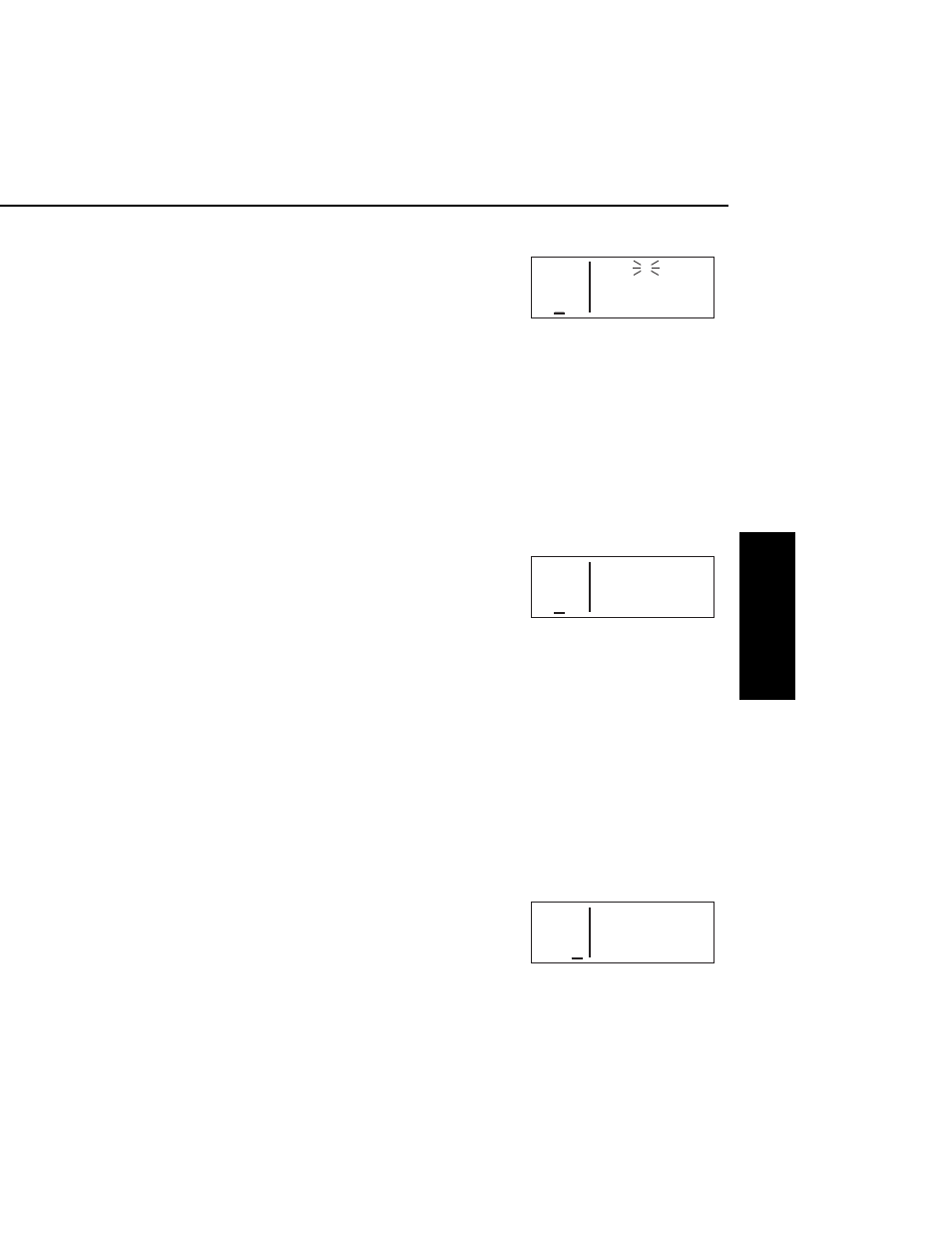
3.11.2.2. The VOR 2 Page
See figure 3-147.
Line 1: The VOR identifier, preceded
by an arrow if it is the active waypoint.
Line 2: The published magnetic sta-
tion declination of the VOR. Magnetic
station declination is another way to
say the published magnetic variation for the VOR.
Line 4: The magnetic bearing to or the magnetic radial from the VOR
and the distance in nautical miles. Placing the cursor over the radi-
al/bearing field and pressing
E
toggles between radial from and
bearing to station.
3.11.3. NDB PAGES
Two pages of information may be displayed for each NDB in the KLX
135A. Sample NDB pages are shown in figures 3-148 through 3-
150.
3.11.3.1. The NDB 1 Page
See figure 3-148.
Line 1: The NDB identifier, preceded
by an arrow if it is the active waypoint.
To the right of the identifier is the fre-
quency of the NDB in kilohertz.
KLX 135A Pilot’s Guide Basic GPS Operation
3-51 Effective Date 5/95
006-08789-0000 Rev 0
Basic GPS Operation
Chapter 3
APT VOR NDB SUP ACT NAV FPL CAL SET OTH
118.00 MEX 2 117.00
136.97 MEXICO CITY
>Leg
VOR 1 >359°To 97.7nm
Figure 3-146
APT VOR NDB SUP ACT NAV FPL CAL SET OTH
118.00 MEX
136.97 Mag Var E 8°
>Leg
VOR 2 >359°To 97.7nm
Figure 3-147
APT VOR NDB SUP ACT NAV FPL CAL SET OTH
118.00 DFI 246
136.97 DEFIANCE
>Leg N 41°20.07'
NDB 1 W 84°25.62'
Figure 3-148