Field operation buttons, General buttons, 2field operation buttons – Ag Leader SMS Mobile Icons/Buttons Quick Start Guide User Manual
Page 3
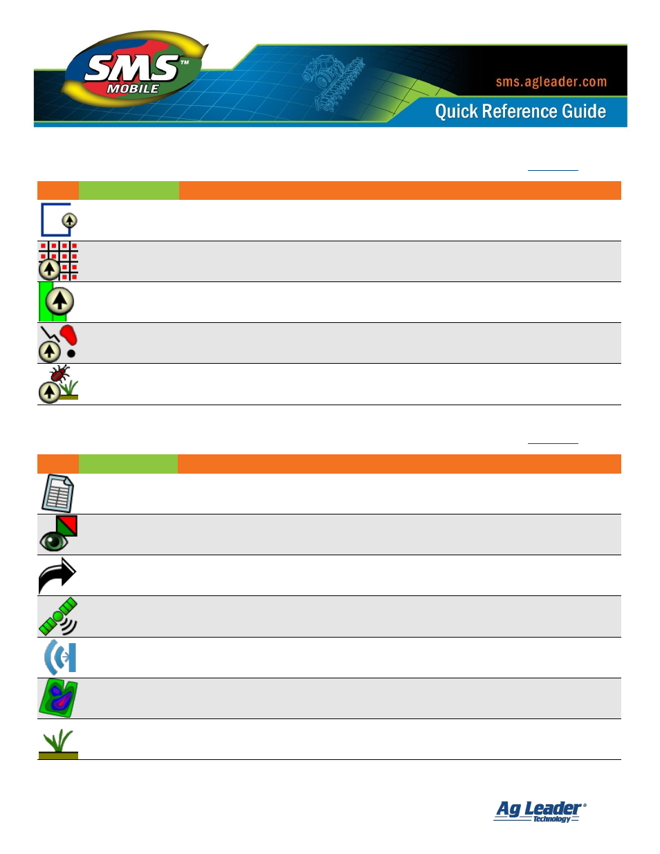
SMS Mobile Buttons
Revision 8/1/2013 © 2013 Ag Leader Technology, Inc All Rights Reserved
2
Field Operation Buttons:
Icon
Name
Description
Boundary Mode
Allows the creation of field boundaries.
Soil Sampling
Allows the creation of soil sampling sites/regions and/or taking soil samples.
Coverage Logging
Allows the logging of swath based coverage data.
General Logging
Allows the logging of general spatial objects such as points, lines, and polygons.
Crop Scouting
Allows the creation of scouting information, including Pests.
General Buttons:
Icon
Name
Description
Dataset Summary
Displays summary information for selected data. This includes basic spatial stats as well as
MIN/MAX/AVG/TOTAL values for attributes in the selected data. If less than 100 objects in
the dataset then raw data values are also available for viewing.
Dataset Viewer
Allows the viewing of any data that is available in SMS Mobile, including data that was
exported from the desktop, imported, or created in Mobile.
Export
Allows you to export data in SMS Mobile in the ESRI Shape file format. Export is either by
date range or manual selection of data to export.
GPS Setup
Allows the selection of a GPS source (GPS receiver, simulated GPS, or playback of a log file)
as well as view GPS stats from the selected GPS source. GPS receiver is automatically
detected and selected when you start SMS Mobile.
Sensor Setup
Allows you to create, edit, or delete Sensor configurations for your Operating Modes.
Predefined sensors are available to select from or a custom sensor option is available for
sensors that output ASCII text strings.
G | F | F Setup
Allows you to create, edit, and delete Growers, Farms, and Fields.
Products Setup
Allows you to create, edit, and delete Products.