Hazard avoidance, Metars and tafs – Garmin G1000 Socata TBM 850 User Manual
Page 333
190-00709-02 Rev. B
Garmin G1000 Pilot’s Guide for the Socata TBM 850
319
HAZARD AVOIDANCE
SY
STEM
O
VER
VIEW
FLIGHT
INSTRUMENTS
EAS
AUDIO P
ANEL
& CNS
FLIGHT
MANA
GEMENT
HAZARD
AV
OID
ANCE
AFCS
ADDITIONAL
FEA
TURES
APPENDICES
INDEX
METARS AND TAFS
NOTE:
Atmospheric pressure reported for METARs is given in hectopascals (hPa), except in the United
States, where it is reported in inches of mercury (in Hg). Temperatures are reported in Celsius.
NOTE:
METAR information is only displayed within the installed aviation database service area.
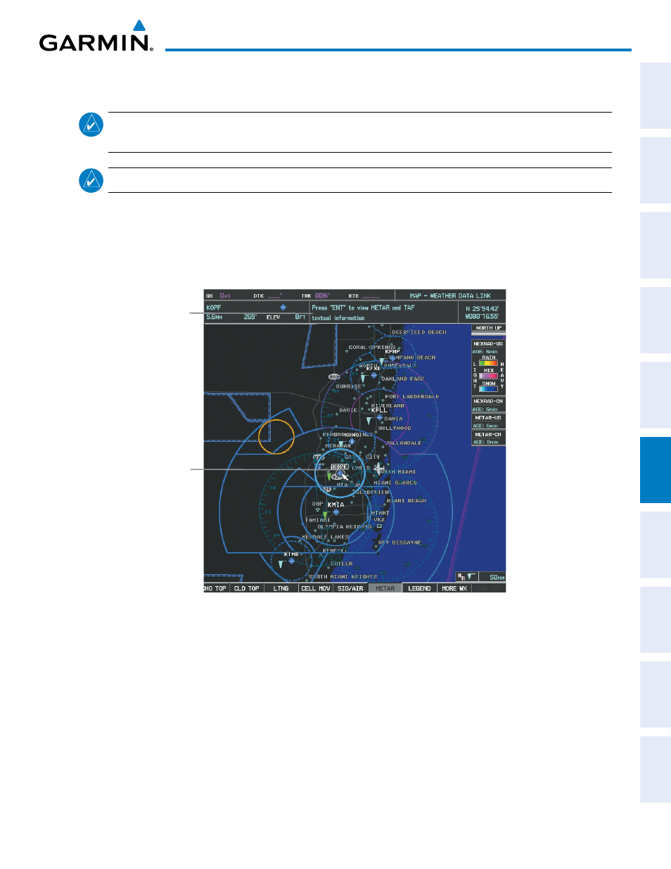
METAR (METeorological Aerodrome Report) is the standard format for weather briefings. METARs are
updated hourly and are considered current. METARs typically contain information about the temperature,
dewpoint, wind, precipitation, cloud cover, cloud heights, visibility, and barometric pressure. They can also
contain information on precipitation amounts, lightning, and other critical data. METARs are shown as
colored flags at airports that provide them.
Figure 6-24 METAR Flags on the Weather Data Link Page
Instructions
for Viewing
METAR and
TAF Text
Selected
Airport