Navi gati on, Map functions – Mercedes-Benz C-Sedan 2015 COMAND Manual User Manual
Page 96
Additional functions:
R
Moving the map (
Y
page 64)
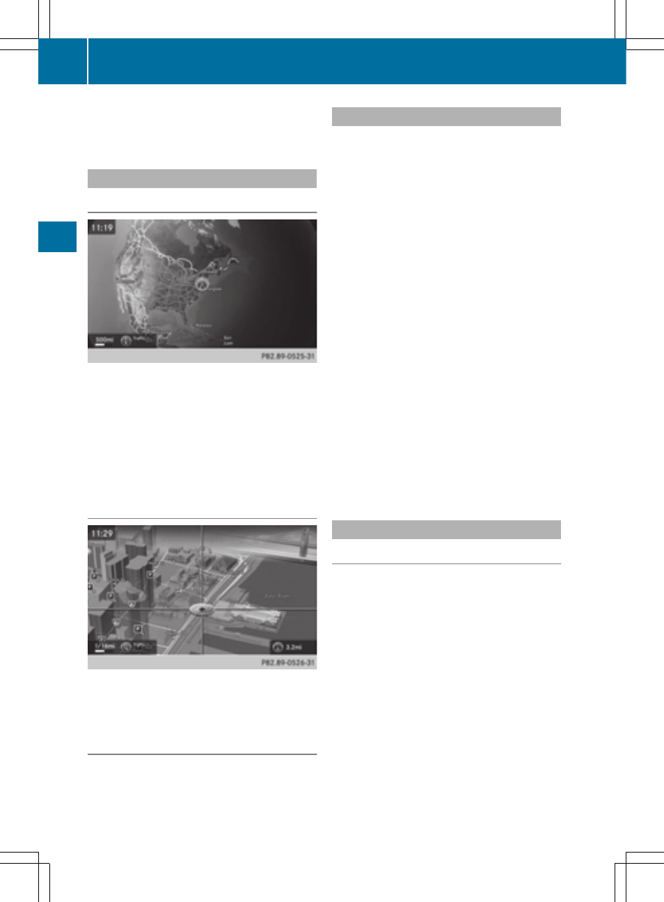
Map display
Displaying the navigation map
COMAND displays the navigation map and
globe satellite images. This allows for a real-
istic map display free from distortion in all
map scales.
Other functions:
R
Moving the map (
Y
page 64)
R
Changing the map scale (
Y
page 91)
Building images
In small map scales (20 m, 50 m), important
buildings are depicted realistically on the
map; other buildings are shown as models.
Elevation model
Cities located in mountainous regions are
realistically depicted using elevation model-
ing.
Country-specific information
You can call up information on the traffic con-
ditions in the country you are currently driving
in via the COMAND Internet and online func-
tion.
The availability of information is country-
dependent. Information can include maxi-
mum speeds, driving with low-beam head-
lamps or legal alcohol limits, for example.
X
To switch to navigation mode: press the
Ø button.
X
To show the menu: slide 6 the control-
ler.
X
To select
Position
Position
: turn and press the
controller.
X
Select
Country Information
Country Information
.
When the online connection has been
established, the available country informa-
tion appears.
i
Alternatively you can call up this function
using the touchpad (
Y
page 21).
X
To return to navigation: press the %
button.
Avoiding an area
General information
COMAND enables you to avoid areas you do
not wish to drive through.
If you activate or deactivate a route block
while route guidance is active, COMAND will
calculate a new route. If you activate or deac-
tivate a route block while route guidance is
inactive, COMAND will use the new setting for
the next route guidance.
The calculated route may include an area to
be avoided if:
R
your destination is located in such an area.
R
there is no alternative route of comparable
length available
94
Map functions
Navi
gati
on