DeLorme PN-20 User Manual
Page 31
30
Use the steps below to reset the information fields to their default settings.
1. From the Map Page, press MENU.
2. Use the arrow keypad to highlight Info Fields.
3. Press ENTER. The Info Fields Setup screen displays.
4. Use the arrow keypad to highlight Restore Info Defaults.
Note: If Show Info Fields displays, the information fields are hidden. Press ENTER to display
the information fields and repeat steps 2 and 3.
5. Use the arrow keypad to highlight.
6. Press ENTER. The information fields return to their default settings.
Turn Imagery On/Off
You can turn on imagery to display it on the map or turn it off if you do not want to display it on the map.
1. From the Map Page, press MENU.
2. If Turn Imagery On is highlighted, imagery is turned off. Press ENTER to turn on imagery.
OR
If Turn Imagery Off is highlighted, imagery is turned on. Press ENTER to turn off imagery.
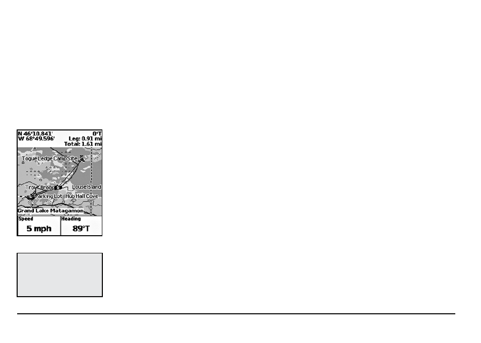
To Measure Distance and Area
Your Earthmate GPS PN-20 has a measurement tool that allows you to measure the distance of a
line or perimeter and area of a polygon.
1. From the Map Page, press MENU.
2. Use the arrow keypad to highlight Measure Distance and press ENTER.
3. Use the arrow keypad to move the cursor to the area on the map where you want to place
the first point of the line/polygon.
4. Press ENTER to place the first point of the line/polygon on the map.
5. Repeat steps 3 and 4 for each point in the line/polygon you want to measure. The Pan Loca-
tion Information that displays in the upper-right corner of the screen changes to display the
heading from the last measurement node to your current GPS location, the leg distance, as
Tip:
Press QUIT to delete the
last measurement point. To
delete the entire measure-
ment object, press QUIT until
all measurement points are
deleted from the map.
Measuring distance on the map