Na vigation system, Map operation and settings – Mercedes-Benz E-Coupe 2011 COMAND Manual User Manual
Page 91
Setting the map to the vehicle
position, destination or intermediate
stop
Centering the map on the vehicle
position
X
To show the menu: press W the COMAND
controller.
X
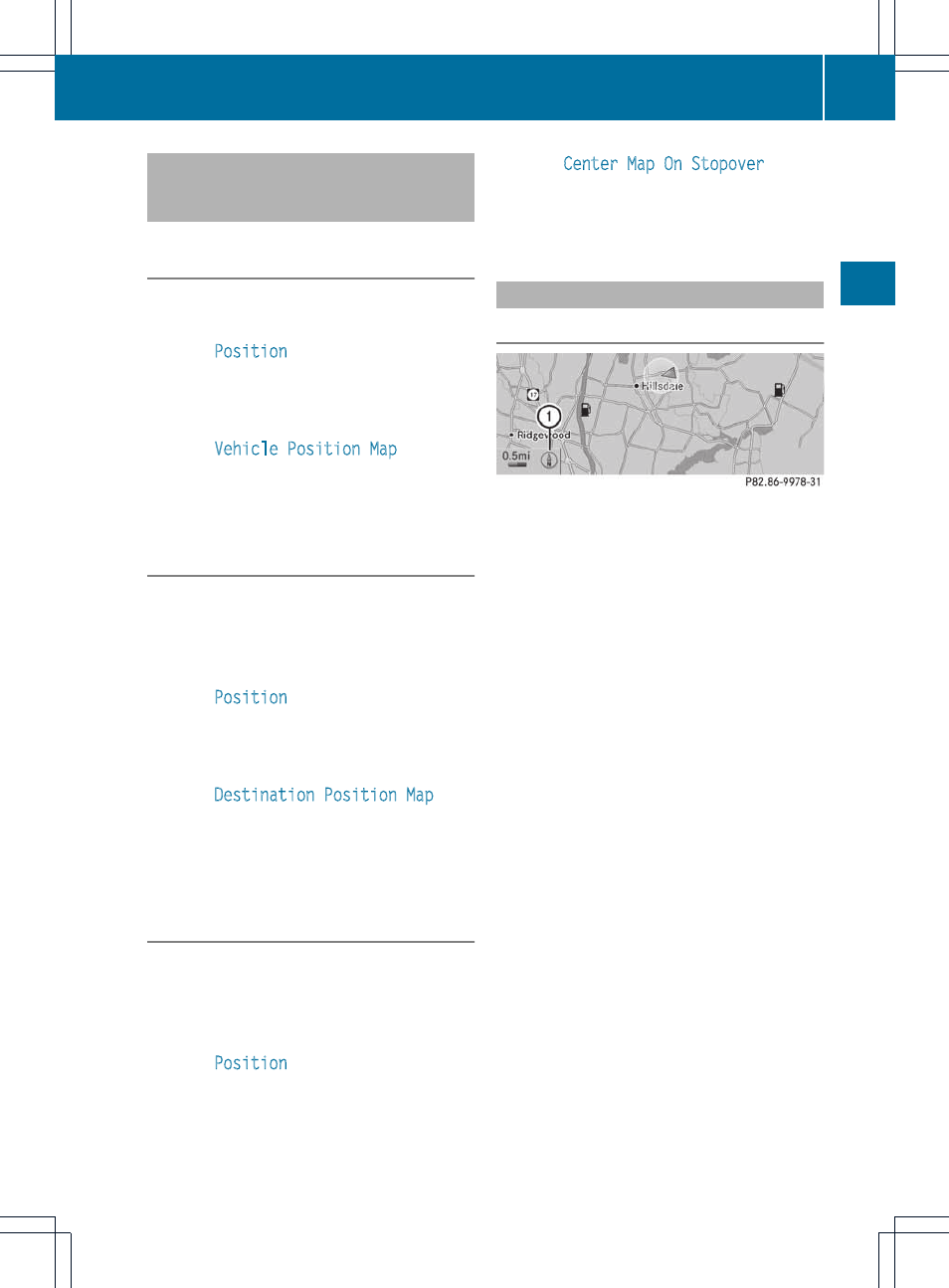
Select
Position
in the navigation system
menu bar by sliding VÆ and turning cVd
the COMAND controller and press W to
confirm.
X
Select
Vehicle Position Map
and press
W to confirm or, if the crosshair is shown,
press the k back button.
This hides the crosshair.
Centering on the destination
This function requires that a route to a
destination has been calculated.
X
To show the menu: press W the COMAND
controller.
X
Select
Position
in the navigation system
menu bar by sliding VÆ and turning cVd
the COMAND controller and press W to
confirm.
X
Select
Destination Position Map
and
press W to confirm.
The crosshair is centered on the
destination.
Centering on an intermediate stop
position
This function requires that a route to a
destination has been calculated.
X
To show the menu: press W the COMAND
controller.
X
Select
Position
in the navigation system
menu bar by sliding VÆ and turning cVd
the COMAND controller and press W to
confirm.
X
Select
Center Map On Stopover
and
press W to confirm.
The crosshair is centered on the
intermediate stop position.
Map display
Setting the map orientation
Map orientation
:
Current map orientation
The following display modes are possible:
R
0 North orientation (the map view is
displayed so that north is always up).
R
¤ Orientation in direction of travel (the
map is displayed so that the direction of
travel is always up; the orange point of the
icon points north).
R
¤ Bird's-eye view (the map is displayed so
that the direction of travel is always up; the
map projection reproduces the curvature
of the earth and the orange point of the icon
points north).
R
¤ 3D map (the map is displayed so that
the heading is always up; at a scale of
1 km or less, the map displays elevation
and terrain modeling; the orange point of
the icon points north)
Map operation and settings
89
Na
vigation
system
Z