Tide information – Furuno GP-3500 User Manual
Page 41
2. PLOTTER AND PILOT DISPLAY DESCRIPTION
2-13
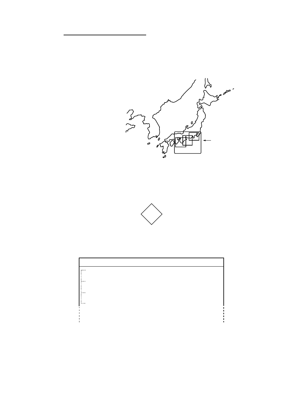
Indices and chart enlargement
When the [ZOOM OUT] key is used, you will see several frames appear on the
chart. These frames are called indices and they show you what parts of the chart
can be zoomed. The areas circumscribed with smaller frames can show more
detailed information.
Indices
Tide information
The C-MAP NT chart card provides for calculation of the tide heights for any
date. Additionally it displays the times of sunrise and sunset.
1. Operate the trackball to place the cursor on a Tide icon.
T
Tide icon
2. Press the [ENTER] knob to open the OBJECT window.
OBJECT
Tide height
Depth area
Harbour area
(administrative)
Source of data
Object window
3. Rotate the [ENTER] knob to select “Tide height.”
4. Press the [ENTER] knob to open the tide window.
- MARINE RADAR 1953C (100 pages)
- GP-1650D (2 pages)
- GP-1650WD (96 pages)
- GP-1650W (96 pages)
- NAVNET 1943C-BB (92 pages)
- GD-3300 (137 pages)
- DUAL GPS GP-150-DUAL (130 pages)
- GP-1650WF (113 pages)
- CH-300 (124 pages)
- NX-300 (65 pages)
- NX-300 (2 pages)
- GP-1850WDF (115 pages)
- GP-1850WD (44 pages)
- GP-1850W (98 pages)
- GP-1850WD (98 pages)
- GP-1850W (4 pages)
- GP-1850W (98 pages)
- INTERFACE UNIT IF-2500 (12 pages)
- GP-31 (2 pages)
- GP-33 (98 pages)
- GP-7000 (28 pages)
- GP-7000 (2 pages)
- GP37 (2 pages)
- GP-90 (36 pages)
- CI-35 (69 pages)
- GP-1850DF (63 pages)
- GP-1850F (110 pages)
- GP-30 (2 pages)
- FCV-30 (110 pages)
- BACK GP-80 (103 pages)
- LC-90 MARK-II (2 pages)
- GP-1650W (44 pages)
- DD-80 (119 pages)
- RP-250 (73 pages)
- GP-1650 (94 pages)
- GP-185F (4 pages)
- GP-1600F (97 pages)
- GP-1850D (94 pages)
- GP-7000F (132 pages)
- GP-7000F (52 pages)
- GP-36 (81 pages)
- GP-150-DUAL (123 pages)
- GP-80 (37 pages)
- 1650WDF (4 pages)