NavCom StarControl Rev.C User Manual
Page 41
StarControl User Guide Rev. C
6 - 39
convergence period to eliminate. Therefore, always try to use the most accurate position
possible.
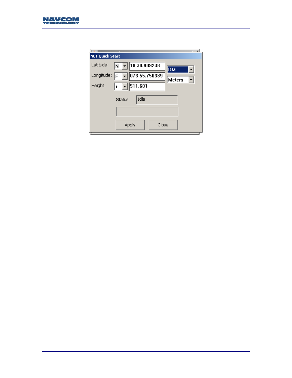
Figure 35: Quick Start Tool
Latitude, Longitude, & Height
Enter the known ITRF2000 position in these fields, ensuring that the proper hemisphere
and height indicators are chosen.
There are three coordinate format choices; Degrees, Degrees & Minutes, and Degrees
Minutes & Seconds.
The choices for height format are U.S. Feet, and Meters.
After entering the appropriate information, click the Apply button and this will initiate the
QuickStart.
While a QuickStart operation is in progress, a check is performed at each
1Hz navigation epoch, which compares the 3D radial distance between
the RTG code solution and the ‘known’ ITRF2000 position input with the
QuickStart initiation request. If this distance exceeds 25 meters on the
first QuickStart epoch, or 15 meters on any of the subsequent epochs in
the 50 second period that QuickStart is being initiated, QuickStart is
terminated, and RTG navigation is reset (full convergence required).
Base Position
Used in conjunction with a Base Profile, the base station position must be entered or, if
the base station position is unknown the receiver can perform a self survey.