AvMap GeoPilot II Plus User Manual
Page 30
30
north-up
- will rotate the map automatically to keep North pointing toward the top of the display.
during north
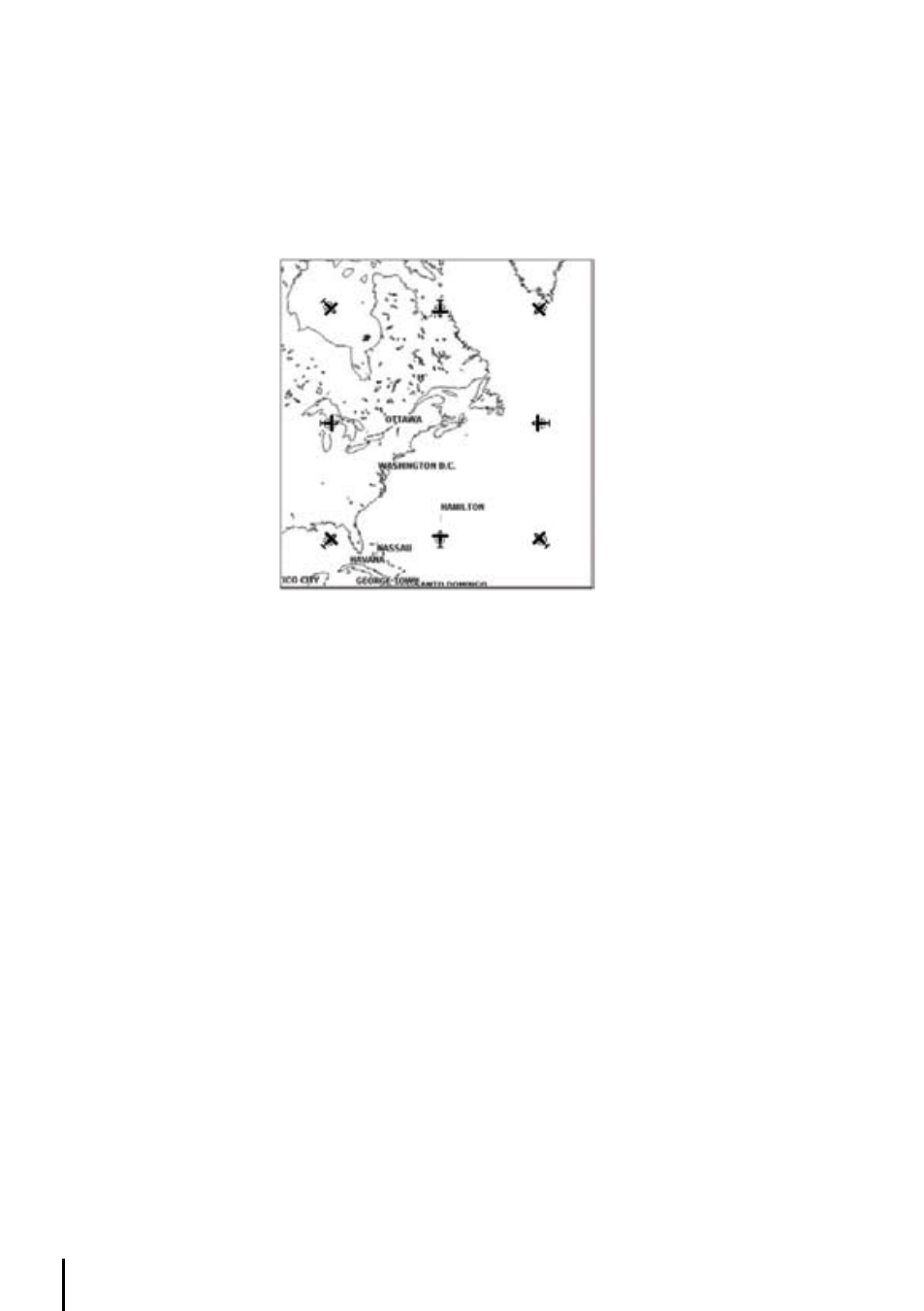
- up mode the Screen Amplifier is active. Depending on the Heading, the fix icon
is placed on one of the 8 positions. For example, if the Heading is 45°, the fix icon is placed on
the bottom left part of the screen (see Fig. 3.5.5). This method of icon placement allows for the
maximum view ahead of the aircraft at the given direction of travel.
The default map orientation is set to TRACK-UP.
Fig. 3.5.6 - 8 marks at the areas where the icon may appear
3.5.7 map Presentation Settings
The Map Presentation Menu enables the user to switch quickly among several map presentation
modes : plain Land Elevation, TAWS and Weather (North America only).
> ‘MENU’ + “MAP PRESENTATION” + ‘ENTER’
The default setting is generic. See paragraph 3.6 for further details.
3.5.8 Automatic Information
The display of Automatic Information is controlled by this setting. The category of detail selected
will be displayed on the Moving Map automatically when the cursor is placed over the object.
> ‘MENU’ + “AUTOMATIC INFO” + ‘ENT’
The selection options are: OFF/AERO+TERREST /AERONAUTICAL/TERRESTRIAL/MARINE (refer
to Par. 3.3). If the category is turned Off, no details about objects will be displayed automatically.
(Full Info is can be viewed from the Cursor Menu.) The default setting is Aero + Terrest.
3.5.9 rangerings
Range rings, 30 degrees radials, added cross at rings center is selectable in TRACK_UP mode , in
the Fix position for increased Pilot Awareness .
3.5.10 vfr, Airspace, land, marine And other Settings
The following menus enable/disable the display of categories of data.