Entering a destination – Acura 2014 TL - Navigation Manual User Manual
Page 45
Entering a Destination
44
Navigation System
Say the province name by saying
individual letters, or words that
represent the letters, one at a time.
By Interface Dial:
With the Province selection, the
display changes to the Select a
province screen.
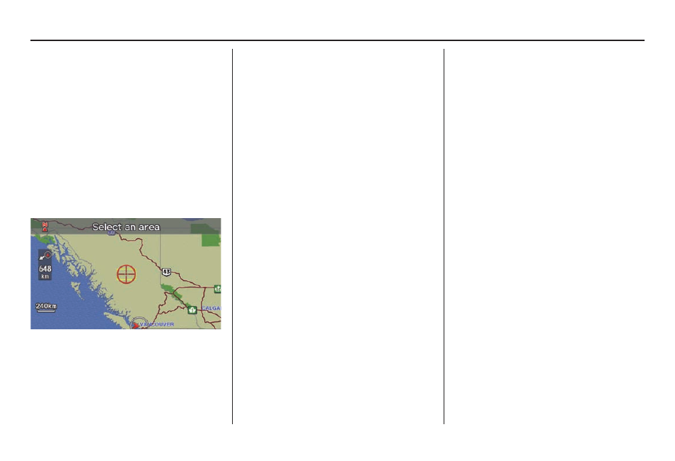
After you select the desired province,
the display changes to a map of the
province, with the target mark located
near the middle.
The yellow box indicates the area you
will see when you click on the current
map with the Interface Dial. The
scale will decrease each time you push
in on the Interface Dial.
Use the Interface Dial to move the
target mark to the area of the province
close to your intended destination. If
desired, rotate the Interface Dial
knob to change the map scale. When
you have the target mark in the desired
area, push in on the Interface Dial.
The address of the location you have
selected will appear at the top of the
screen.
NOTE:
Information icons are displayed at
scales from 1,6 kilometres to 400
metres, POI icons are displayed at 200
metres or less, and roads are displayed
at 400 metres or less.
If this is the desired address, push in
on the Interface Dial again. If not,
use the Interface Dial to reposition
the target mark, then push in on the
Interface Dial again to display the
new address.
If you selected a single icon or road
segment, select Set as Dest. to
calculate a route to the selected
destination. If you selected multiple icons
within the cursor radius, select an item
from the list. Then select OK to calculate
a route to the selected destination.