2 chart synchronization, 3 cursor echo, 4 waypoints – Seiwa SWRx series User Manual
Page 28
30
User Manual
Underwater Object icons.
♦
Minimum: only the coast lines and elevation objects, no area fill.
♦
As Cartography: inherits settings from the current cartography setting.
♦
Custom: Custom chart representation.
To select the desired Chart Overlay Mode follow this procedure:
[MENU] + "Chart Features" + [ENTER] + "Chart Overlay Mode" + [ENTER] +
select the desired mode + [ENTER]
2.4.2 Chart Synchronization
A
VAILABLE
O
NLY
IN
THE
R
ADAR
C
HART
S
PLIT
PAGE
When Chart Synchronization is enabled, the chart display is synchronized to the
Radar display. This function is enabled when Home mode is active (e.g. by press-
ing [CLEAR] from the chart screen). An alert window showing the message "Ra-
dar - Chart Synchronization mode On" is displayed.
To enable (On) or disable (Off) the Chart Synchronization follow this procedure:
[MENU] + "Chart Features" + [ENTER] + "Chart Synchronization" + [ENTER]
+ "On"/"Off" + [ENTER]
2.4.3 Cursor Echo
A
VAILABLE
O
NLY
IN
THE
R
ADAR
C
HART
S
PLIT
PAGE
This function allows to correlate targets on the Radar display with objects in the
chart. Moving the Radar cursor on Radar display will cause moving another cursor
over the chart. The cursor over the chart shall be positioned over the same Lat/
Lon of the cursor over the Radar. When the Cursor Echo function is enabled, the
Radar cursor in the chart display is always shown even if the cursor in the Radar
display is hidden.
To enable (On) or disable (Off) the Cursor Echo follow this procedure:
[MENU] + "Chart Features" + [ENTER] + "Cursor Echo" + [ENTER] + "On"/
"Off" + [ENTER]
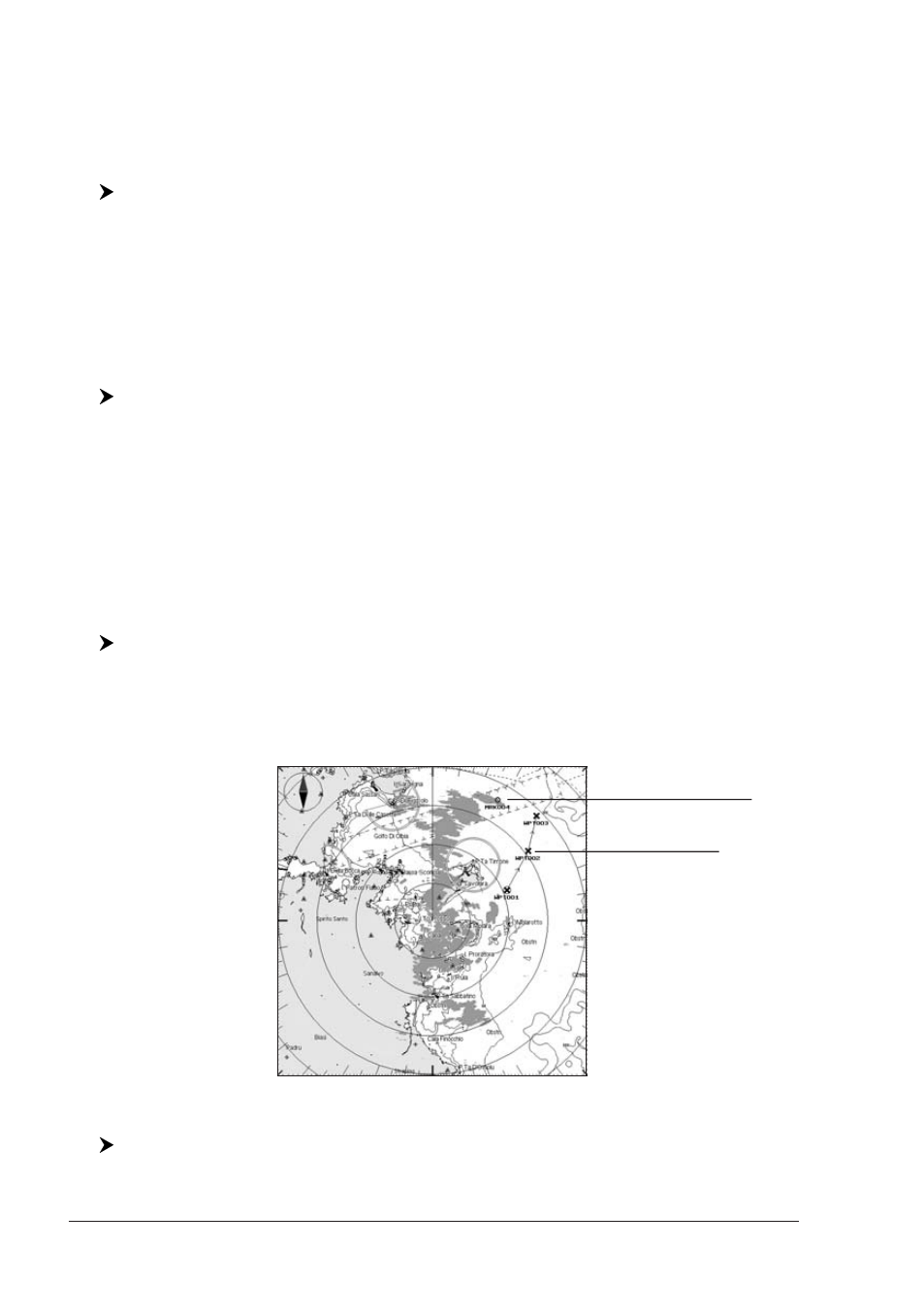
2.4.4 Waypoints
When it is On, active Waypoints and their Routes are shown also overlaid over the
Radar image.
Mark
Waypoint
Fig. 2.4.4 - Waypoints and Marks display
To enable (On) or disable (Off) the display of Waypoints follow this procedure:
[MENU] + "Chart Features" + [ENTER] + "Waypoints" + [ENTER] + "On"/
"Off" + [ENTER]