Selected map point, also known as the cursor, Visible pois (points of interest) – Mio MioMap v3.3 C320 User Manual
Page 21
road where you drive (e.g. on the right in the United States and on the left in the
U.K.) on two-way roads.
You always see this corrected position on the map. The position given by the GPS is
not displayed, but this is the information recorded in the track log. When recorded
track logs are shown on the map, the line is not corrected. You see the positions
reported by the GPS.
Note: The Lock-on-Road feature can be turned off in Advanced settings (Page 86)
for pedestrian use. When switched off, the arrow is displayed at the position reported
by the GPS receiver.
When the GPS position is lost, the arrow turns gray and remains at the last known
position.
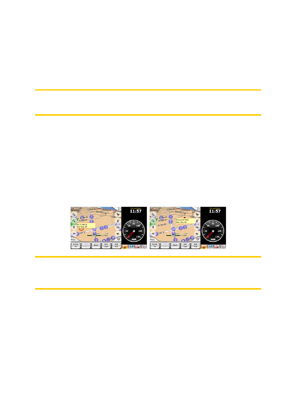
4.2.7 Selected map point, also known as the Cursor
If you tap the map somewhere or select a specific item in Find (Page 61), it will
become the selected point on the map, marked with a small red dot and permanently
radiating red circles to make it conspicuous at all zoom levels, even when it is in the
background of a 3D map view. You can use this point as starting point, via point, or
destination of your route, you can search for a POI near to it, or save it as a POI. The
cursor, when visible, is also the reference point for map scaling.
Note: When your GPS position is available, and Lock-to-Position (Page 27) is active,
the cursor is the current GPS position, the Green arrow. When you select another
point by tapping the map, or using the Find menu (Page 62), the new Cursor is
shown on the display with the red dot and the radiating red circles.
4.2.8 Visible POIs (Points of Interest)
MioMap comes pre-installed with millions of built-in POIs, and you can create your
own POI database as well. Having all of them displayed on the map would make the
map too crowded. To avoid this, MioMap lets you select which POIs to show and
which ones to hide (Page 44) using their categories and subcategories.
POIs are represented by icons on the map. For a built-in POI, the device displays the
icon of the subcategory of the actual POI. For points you create, it is the icon you
had chosen when you created the POI (it can be changed later).
21