Viewing the off-map indicator on approach charts, Display ownship on the airport diagram – Jeppesen Mobile FliteDeck for iPad User Manual
Page 52
Accessing Terminal Chart Information
Display Ownship on the Airport Diagram
October 2014
Jeppesen Mobile FliteDeck User Guide
Copyright © 2014 Jeppesen. All rights reserved.
45
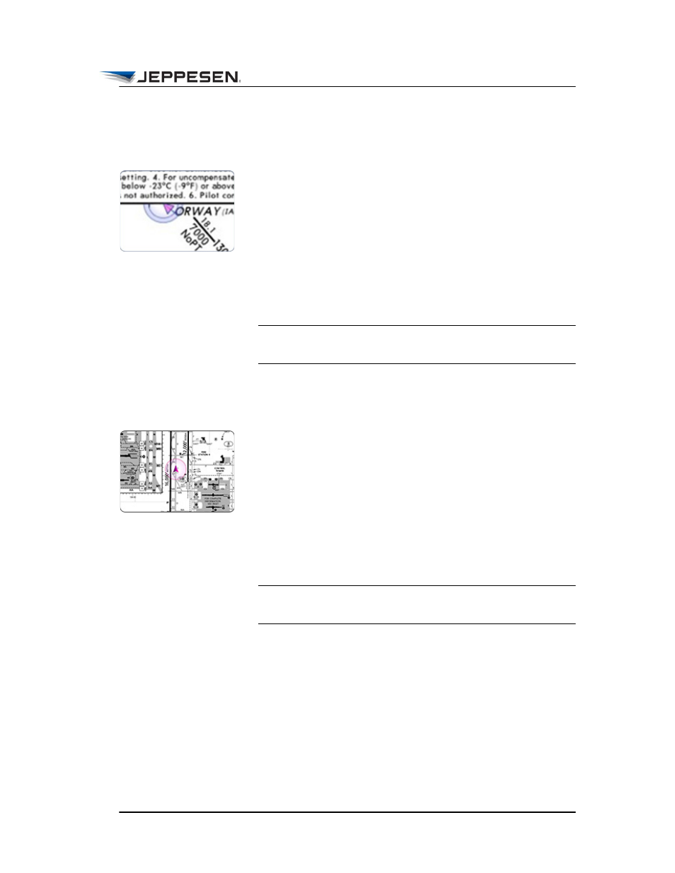
Viewing the Off-Map Indicator on Approach
Charts
Mobile FliteDeck provides an off-map indicator as a visual cue as
to the direction from which your aircraft is approaching when:
• Display Ownship on Approach in JeppFD global settings
is set to ON.
• Your aircraft is within 10NM of the approach chart
boundary.
• The minimum required GPS accuracy to display ownship
on approach charts is met.
NOTE The minimum required GPS accuracy to display
ownship on approach charts is 50 meters.
Display Ownship on the Airport Diagram
Mobile FliteDeck displays ownship on the airport diagram when:
• Display Ownship on Airport Diagram is set to ON in
JeppFD global settings.
• Your aircraft is moving no faster than the speed specified in
the Arpt Diagram (10-9) Speed Threshold in JeppFD
global settings. The speed threshold is 40 knots by default.
• The minimum required GPS accuracy to display ownship
on taxi diagrams is met.
NOTE The minimum required GPS accuracy to display
ownship on a Taxi diagram is 17 meters.