Sid and star transition points, View ownship on the enroute map, View present position – Jeppesen Mobile FliteDeck for iPad User Manual
Page 41
Viewing Enroute Map Information
SID and STAR Transition Points
Jeppesen Mobile FliteDeck User Guide
October 2014
Copyright © 2014 Jeppesen. All rights reserved.
34
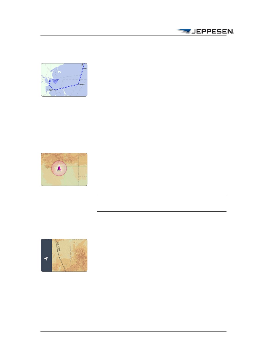
SID and STAR Transition Points
When the runway is a part of the route description, a dashed line
depicts the transition points of the SID and/or STAR on the
enroute map. A label that identifies the procedure appears along
the dashed line. In addition, Mobile FliteDeck adjusts the flight
distance that appears in the Flight Info drawer.
To render SID or STAR transition points on the enroute map use
this format:
• For a SID, enter: rwy.SID.transition
• For a STAR, enter: transition.STAR.rwy
View Ownship on the Enroute Map
The current aircraft position is available on the enroute map
when:
• Enable Moving Map and Display Ownship on Enroute in
JeppFD global settings are set to ON.
• The minimum GPS accuracy requirement is met.
NOTE The minimum required GPS accuracy to display
ownship on the enroute map is 200 meters.
View Present Position
To recenter the map over your aircraft position after you have
panned away, tap the Present Position button.