Introduction, Gps position sensor – PASCO PS-2175 GPS Position Sensor User Manual
Page 3
GPS Position Sensor
PS-2175
®
3
Introduction
The PASPORT GPS Position Sensor uses signals received from the Global Positioning System to determine its
latitude, longitude, altitude and horizontal velocity anywhere on earth. Use it alone or in conjunction with other
sensors for outdoor experiments in environmental science, physics, and other subjects.
Data from the GPS Position Sensor is relayed to a PASPORT interface such as the Xplorer GLX. You can view
and analyze the data on the GLX, or transfer it to a computer running DataStudio or My World GIS.
The Position Sensor is compatible with all PASPORT interfaces, but is most easily used with the Xplorer GLX.
The instructions in this manual assume that you are using an Xplorer GLX. See page 10 for additional informa-
tion on using other interfaces.
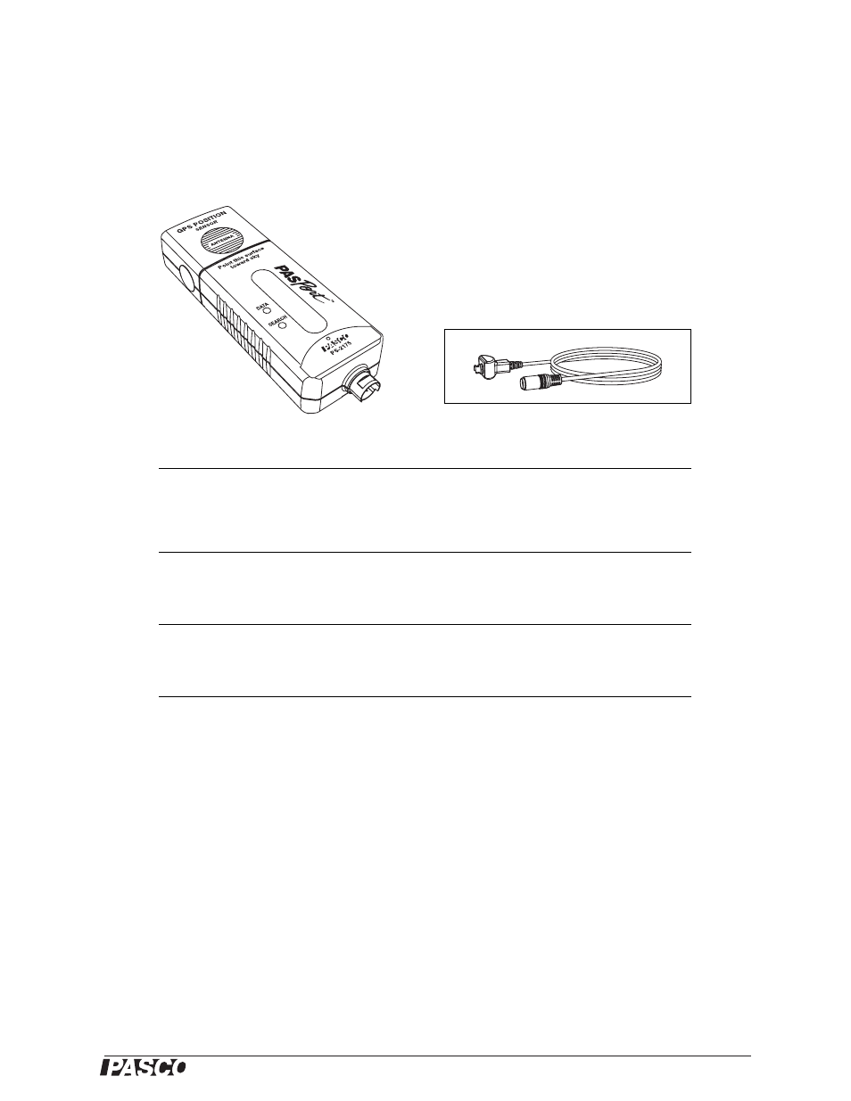
Included Equipment
Part Number
GPS Position Sensor
PS-2175
PASPORT Extension Cable
PS-2500
Required Equipment
Xplorer GLX
or other PASPORT Interface
1
1
PASPORT interfaces include the Xplorer GLX (PS-2002), Xplorer (PS-2000), AirLink (PS-2005),
PowerLink (PS-2001), and USB Link (PS-2100)
See PASCO catalog or www.pasco.com
Recommended Equipment
USB Flash Drive
2
2
For transferring data from Xplorer GLX to My World GIS software.
PS-2551 or similar
My World GIS software
See PASCO catalog or
www.pasco.com/myworld/